Aquinnah, MA
I still tend to slip and call this Gay Head, because that’s what everyone did until it was changed in 1997 to the more politically correct “Aquinnah,” which is Native American for “land under the hill.” Out of the year round population of 311 people, approximately half are members of the Wampanoag tribe that settled on the island centuries before English settlers arrived and felt the need to convert them to Christianity.
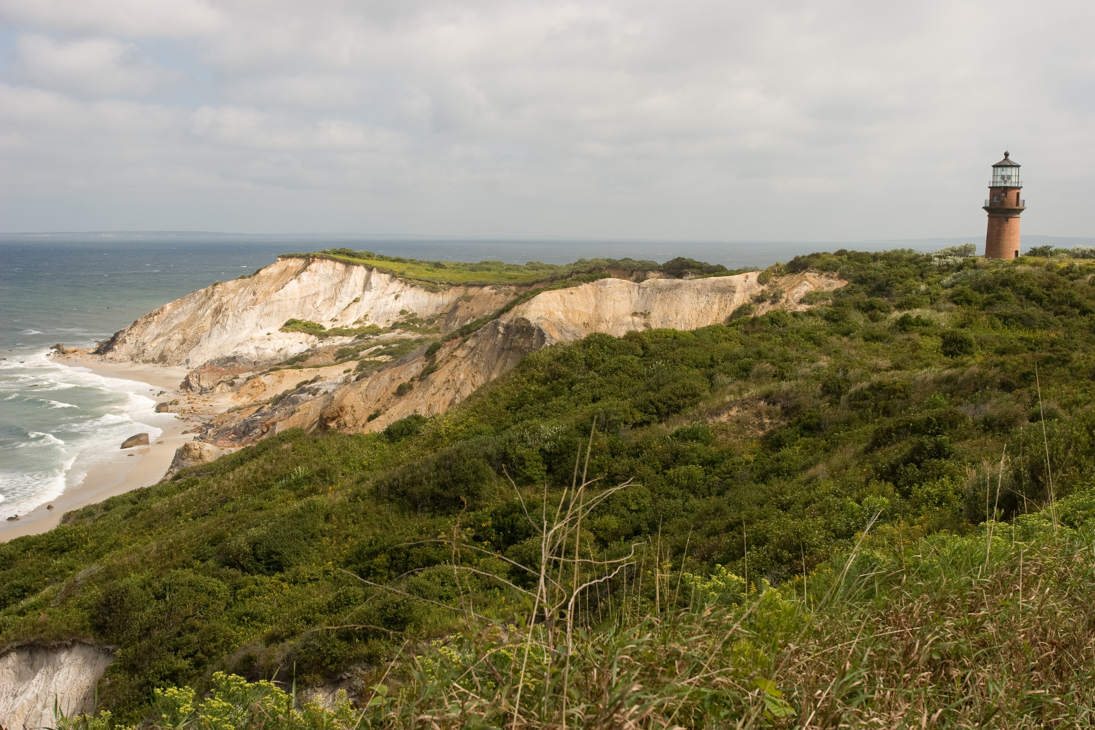
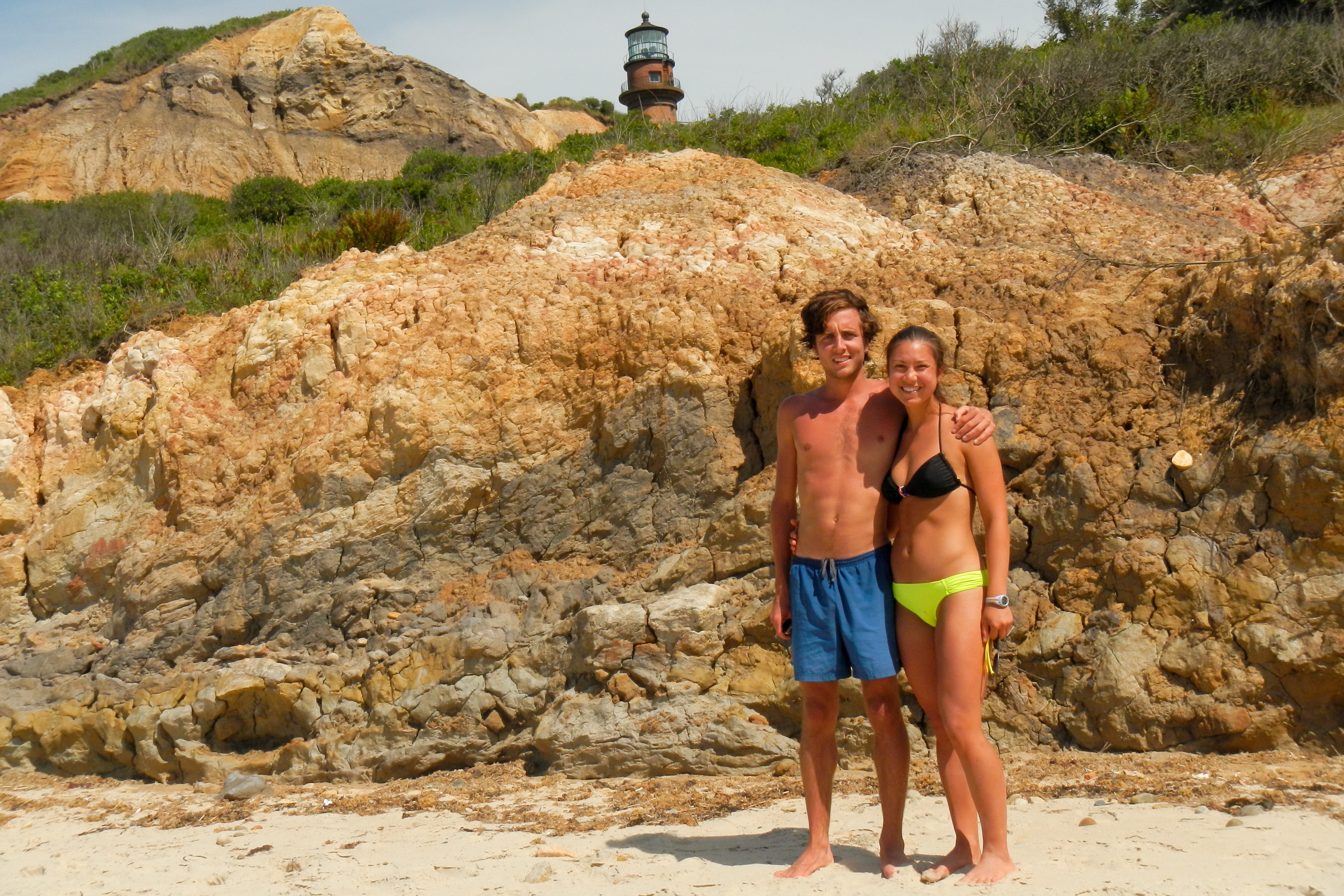
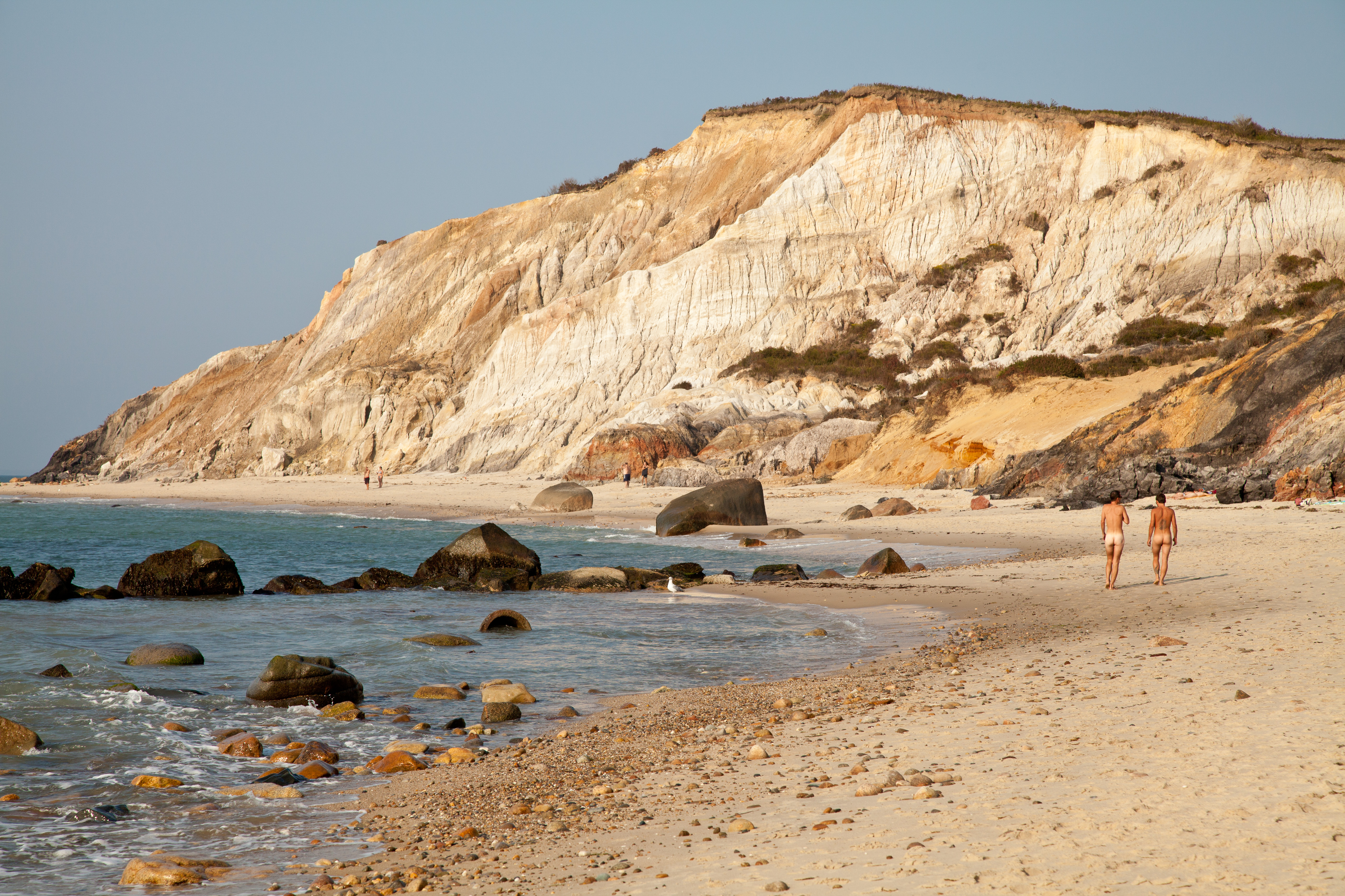
Anyone that has seen postcards or photos of Martha’s Vineyard will recognize the iconic image of Aquinnah’s dramatically colorful clay cliffs, laced with multicolor bands of red, yellow, white, and gray.
One of the best vantage points to view the cliffs is from the Gay Head Lighthouse, which sits atop the cliffs. The lighthouse is open to the public on Friday, Saturday and Sunday evenings from one hour before sunset to a half hour after sunset, from the summer solstice to the fall equinox.
The approach to the lighthouse is a path lined with gift shops selling native Wampanoag wares and several take-out chowder and seafood shacks.
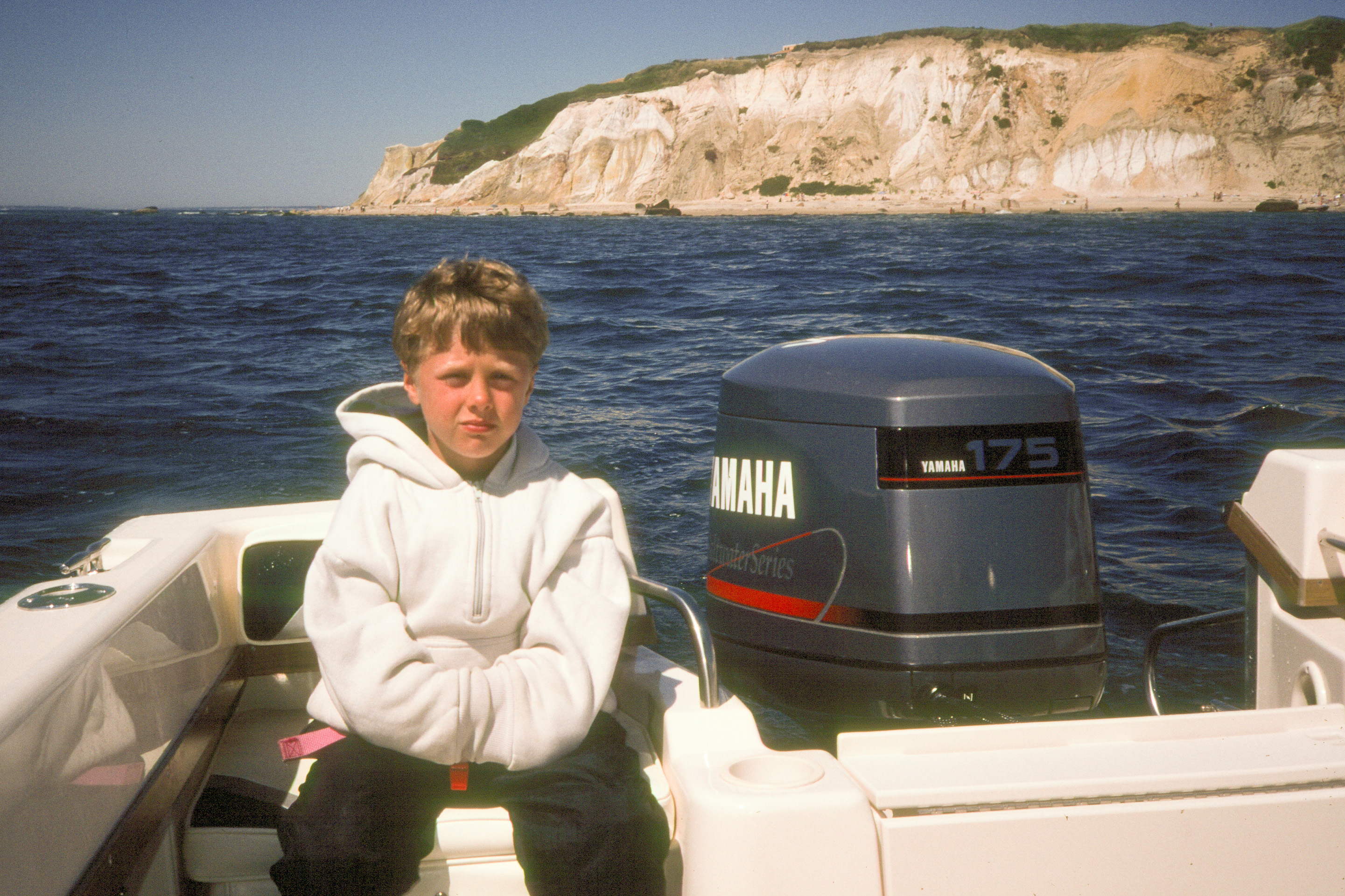
However, the best view in my opinion is from down below on Moshup Beach. Besides one visit here with the kids when they were little, we really didn’t start coming here regularly until just two years ago. When they were along, we tended to spend most of our time on the eastern end of the island in Edgartown and Chappaquiddick. But now that it pretty much is just Herb and I, we like to mix it up and spend time beaching and photographing what the Travel Channel has selected as one of the top 10 beaches in the country. Despite its uniqueness and beauty, its remote location from the more touristy parts of the island makes it much less crowded than the other public beaches on the island.
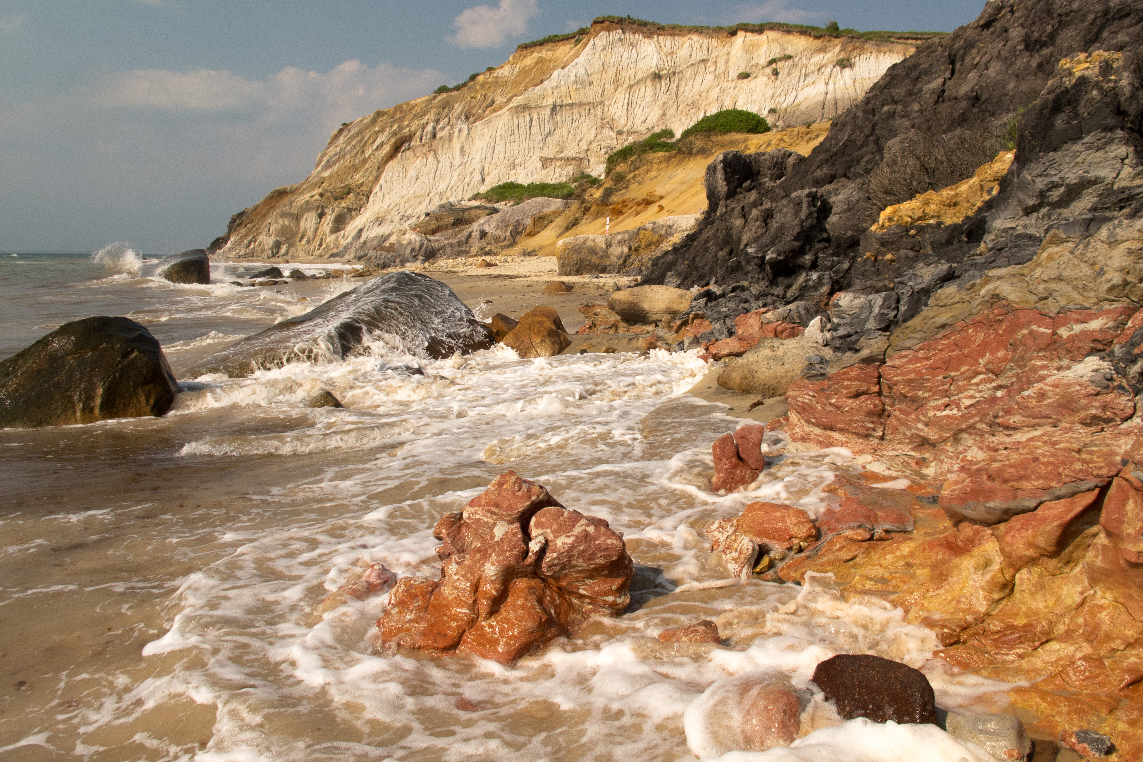
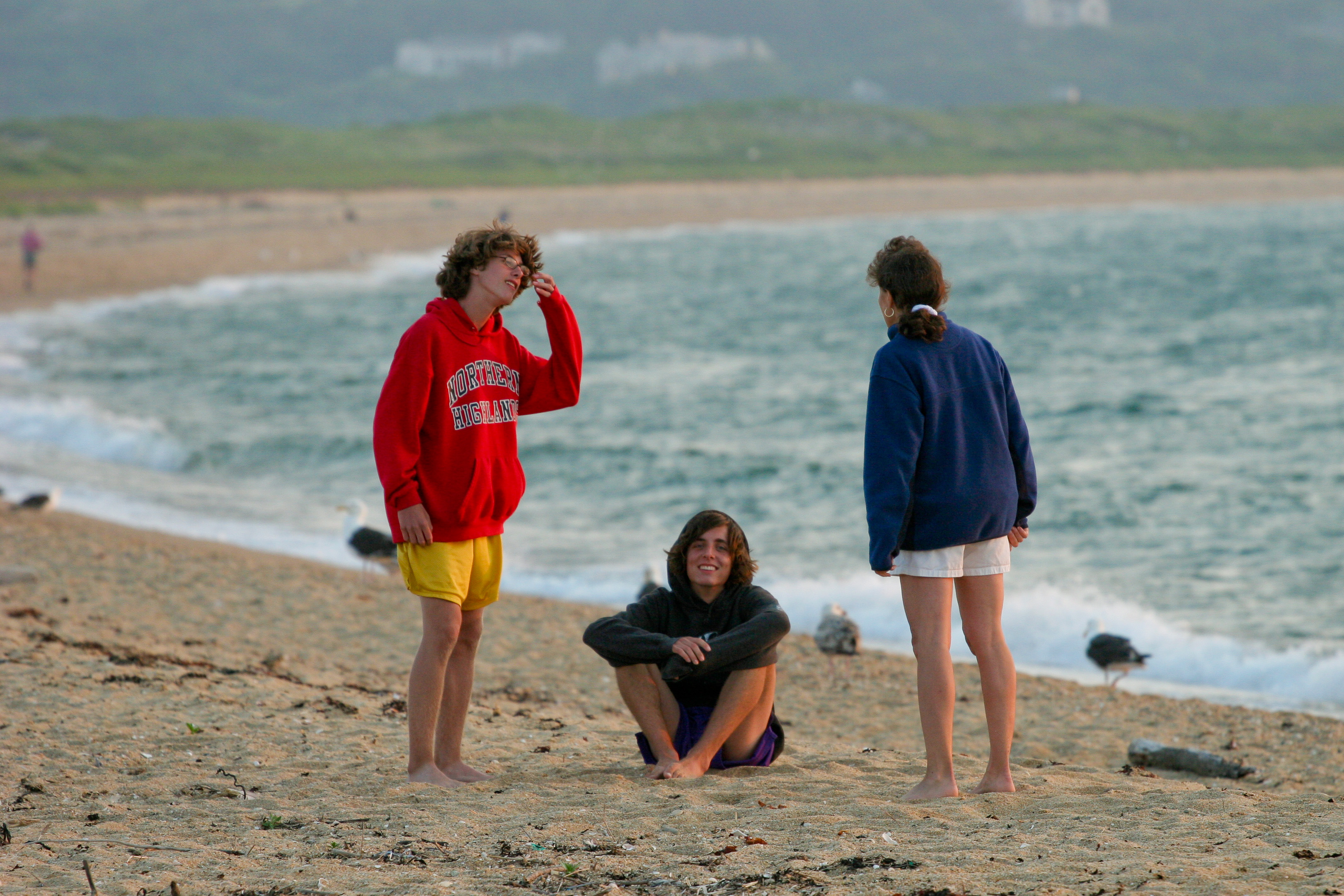
The walk along this ½-mile beach at the base of the 130-foot high cliffs is breathtaking, with crashing waves to one side and the stunningly beautiful, multicolored cliffs on the other—not to mention the creative and whimsical rock cairn art to maneuver around along the way.
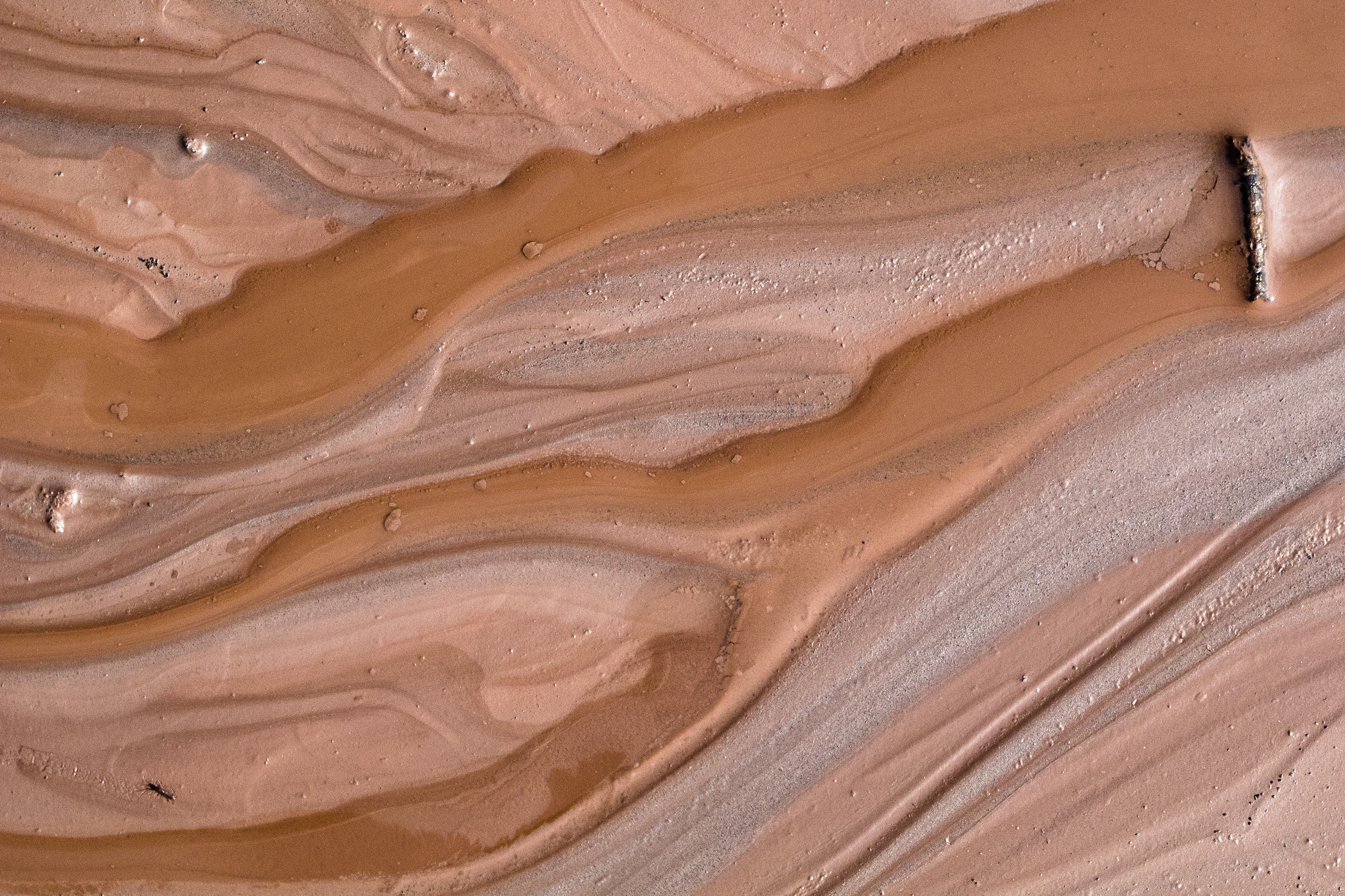
In many places, little rivulets of red clay seep out of the cliffs and flow towards the sea. In the 60s and 70s, it was a popular activity for nude sunbathers to partake in “clay baths” and cover their bodies with clay. While playing with the clay is no longer allowed, the nude sunbathing tradition lives on at the far end of the beach.
For the last two or three summers, Herb and I have driven the RV down to the western end of the island (up-island as locals say) and parked in the big town lot at the end of State Road. It is $15 for the full day. From the parking lot, the Moshup Trail is a 10-minute, very pretty walk to the beach.
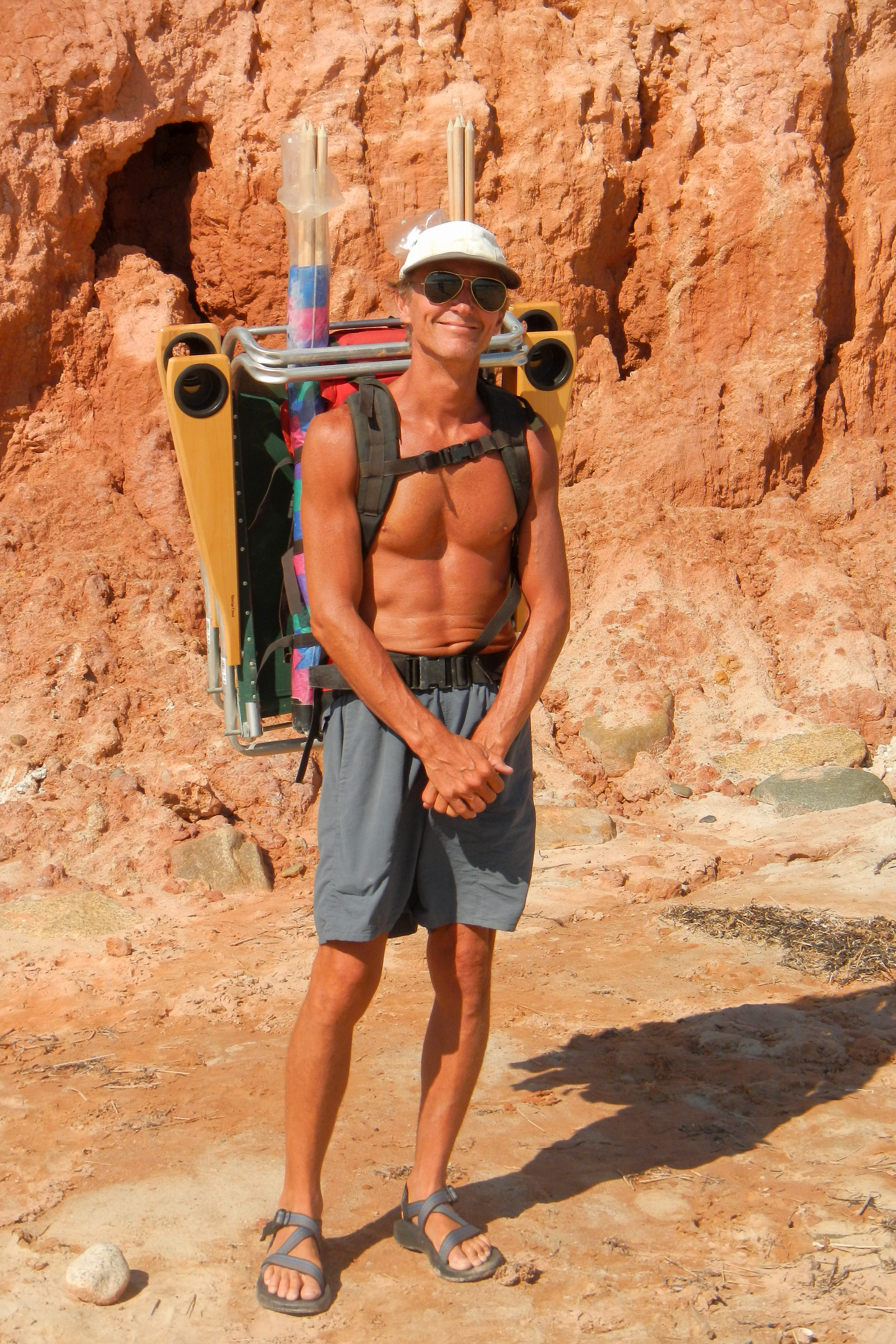
Since the walk is pretty far, we tend to bring our stuff for the whole day—beach chairs, books, lunch, cocktails, and much camera gear. Herb has developed a “system” for carrying all this stuff. He starts with one of his old backpacks, straps two wind guards to each side, hangs the beach chairs on the wind guard poles, straps his tripod to the top, and stuffs everything else inside. I follow like a queen.
We like to spend the entire day here, swimming and reading, and waiting for the low light at the end of the day to paint the cliffs in even brighter hues. That’s when the cameras come out.
Last summer, Andrew and his girlfriend Celeste interned in Boston, so they popped down to the island to join us on the weekends. We had been bringing Andrew to the island once or twice a year since he was 3 months old, so it was nice to show him something new to add to his list of favorite spots on the island.
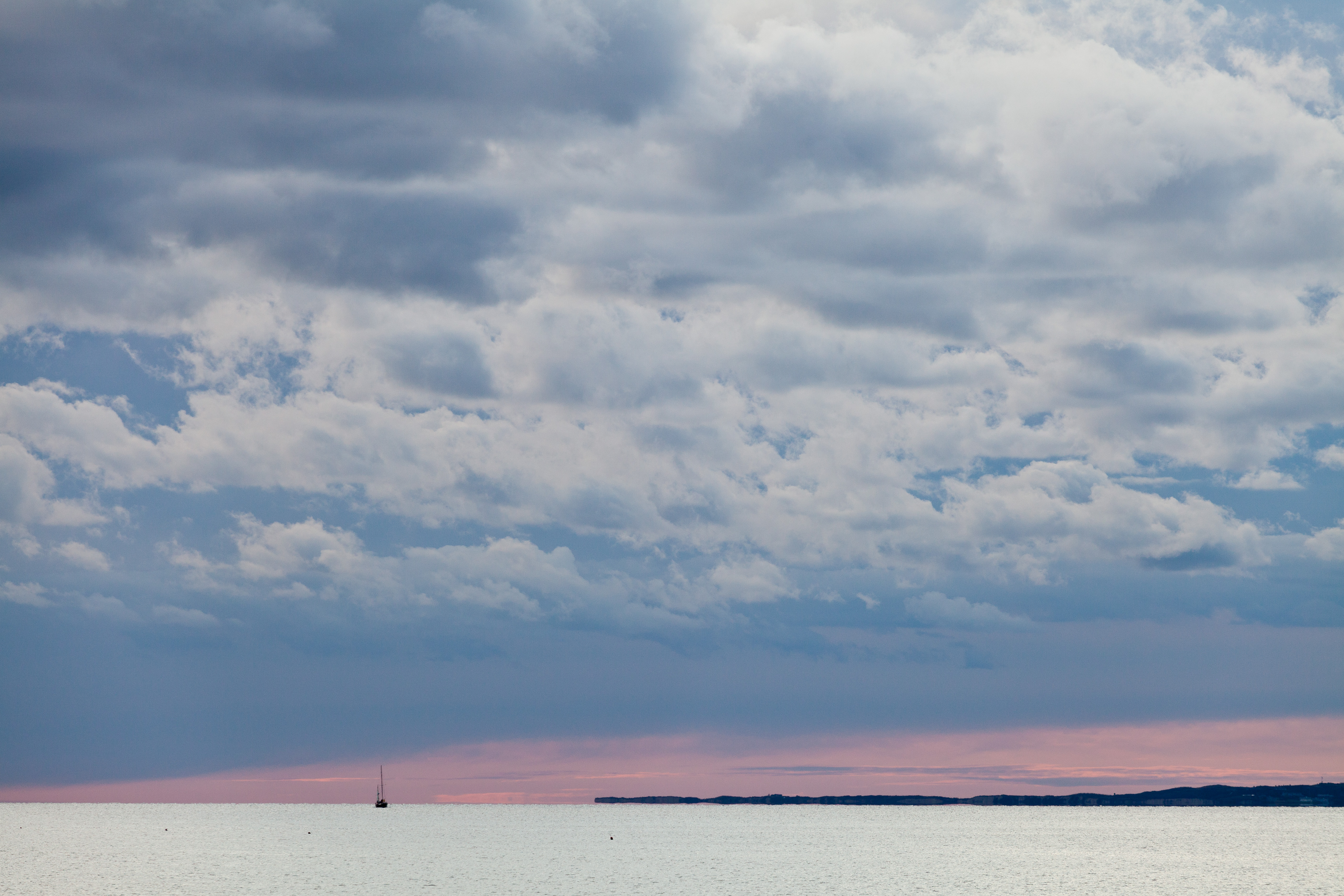
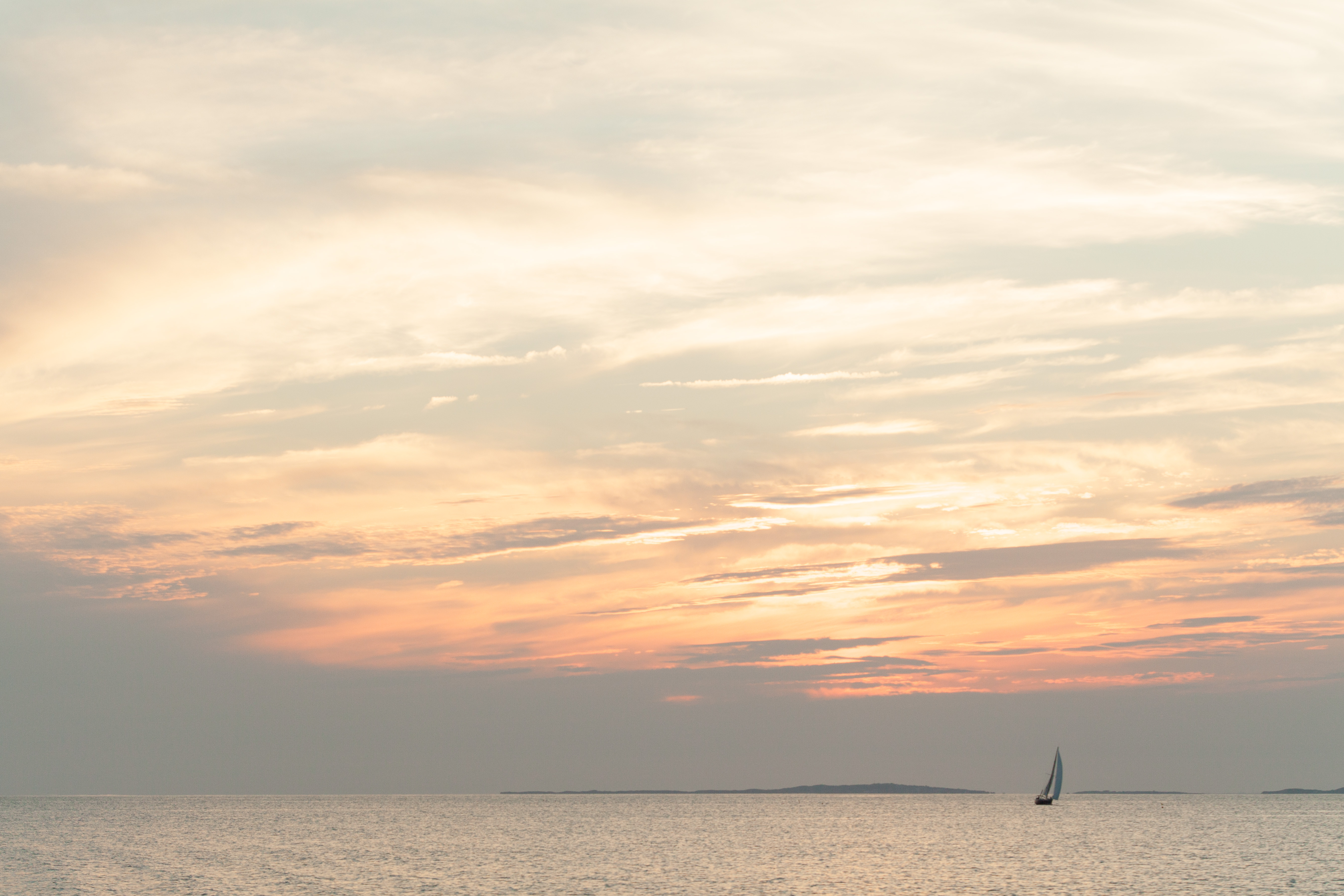
Another favorite spot in Aquinnah that we have been coming to for years is Lobsterville Beach. Its location on the northwest side of the island, on the Vineyard Sound, makes it a perfect place to watch the sun set over the water, which we have done at least once every year since the 80s. The problem, however, is parking, as there are only 8 non-resident spots at the end of West Basin Road. This is particularly challenging with an RV, but we do manage to fit with the back of the RV hanging over the bushes.
During our “foolish youth” phase, we used to come here to BBQ and make a bonfire on the beach. If I remember correctly, there might have been some liquor involved as well. On one of these bonfire nights, we were approached by a town official, who quite nicely suggested that our fire was illegal. After chatting with him awhile, he generously told us to continue with our fun and to tell anyone that bothered us that “Chief Taylor said it was okay.” Only later did we realize that this was James Taylor’s younger brother. James Taylor, as well as his ex-wife Carly Simon, live on the island.
While not particularly great for swimming, because of the rocks and seaweed, it is an excellent spot to fish for blues, flounder, and striped bass. You can fish along the 2-mile beach or from the rock jetty that is just across the channel from the more-crowded Menemsha jetty. We have caught fish here for years. One particular favorite Gaidus fish story was when Andrew, who was about 12 at the time, caught a flounder. It was large enough for us to call it dinner. Unfortunately, Andrew had already named it Alfred and developed a relationship with it. It wasn’t one of our easier dinners.
Another time, the boys designed a seagull trap. They dug a hole on the beach, large enough to hold a small boy. Then one of them would get in the hole, and the other would cover it with a beach blanket with chips scattered on it. When a seagull landed to eat the chips, the one in the hole would leap up and try to grab the poor unsuspecting gull. They got pretty close one time. I am not sure who was more scared, the bird or Andrew and Tommy.
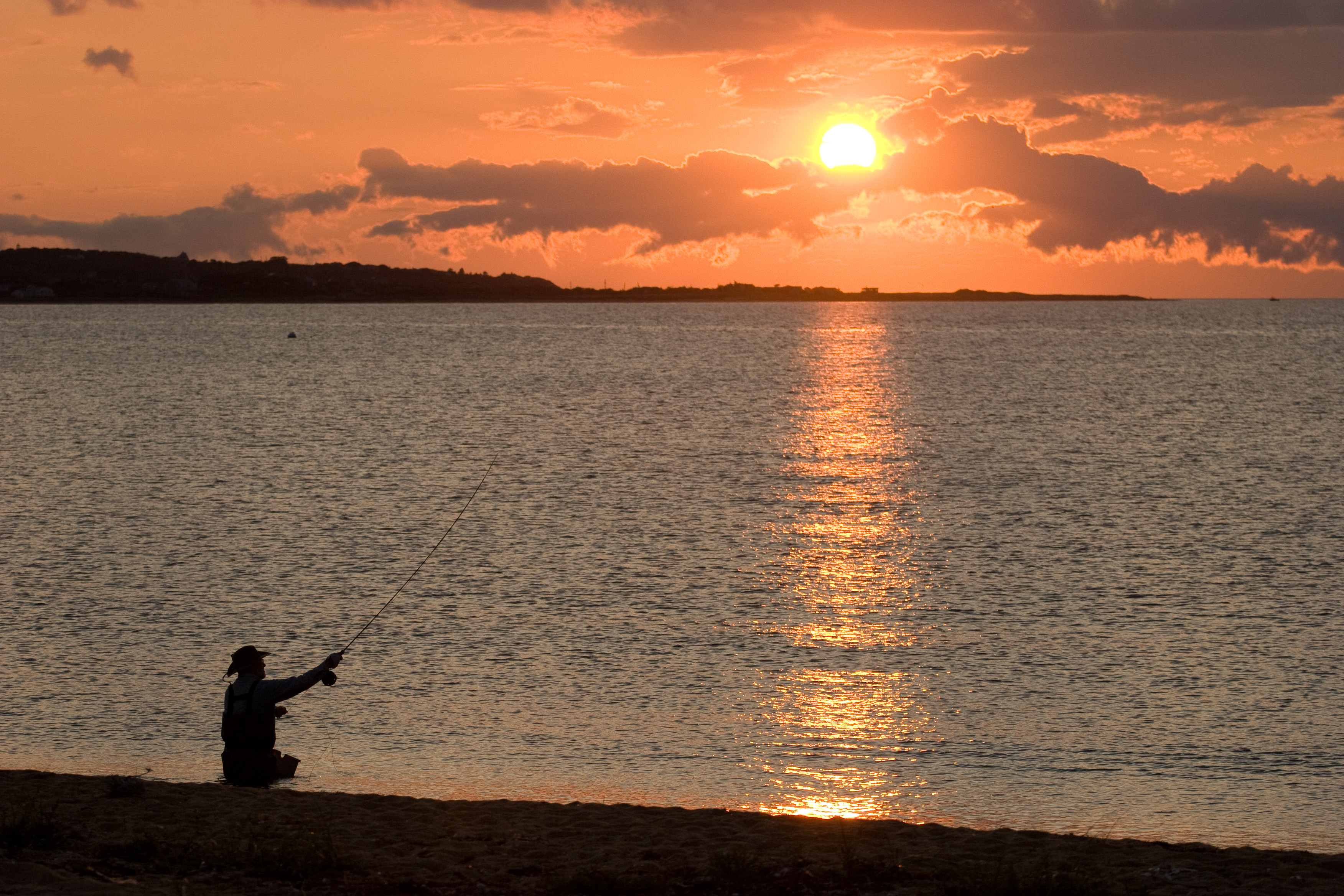
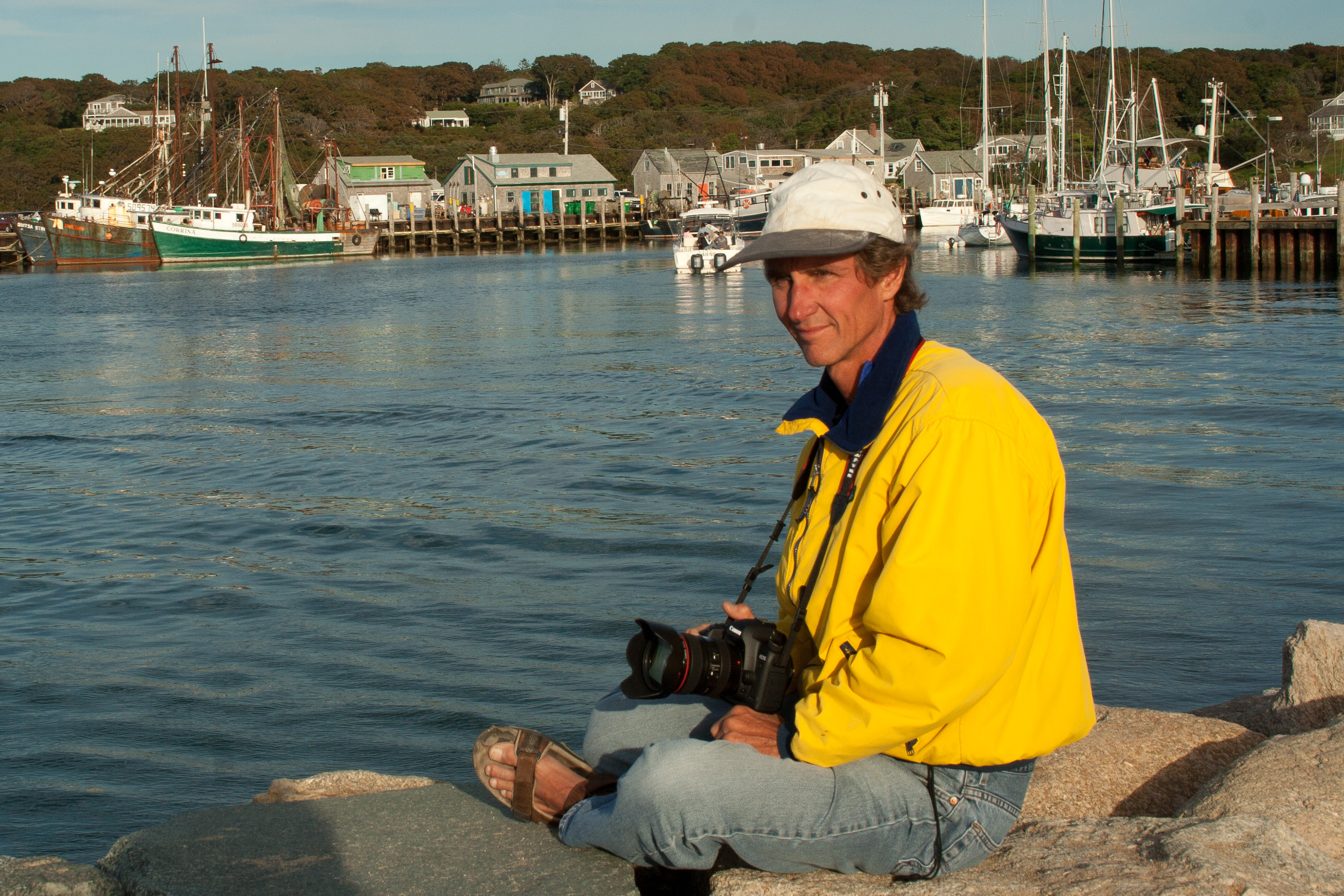
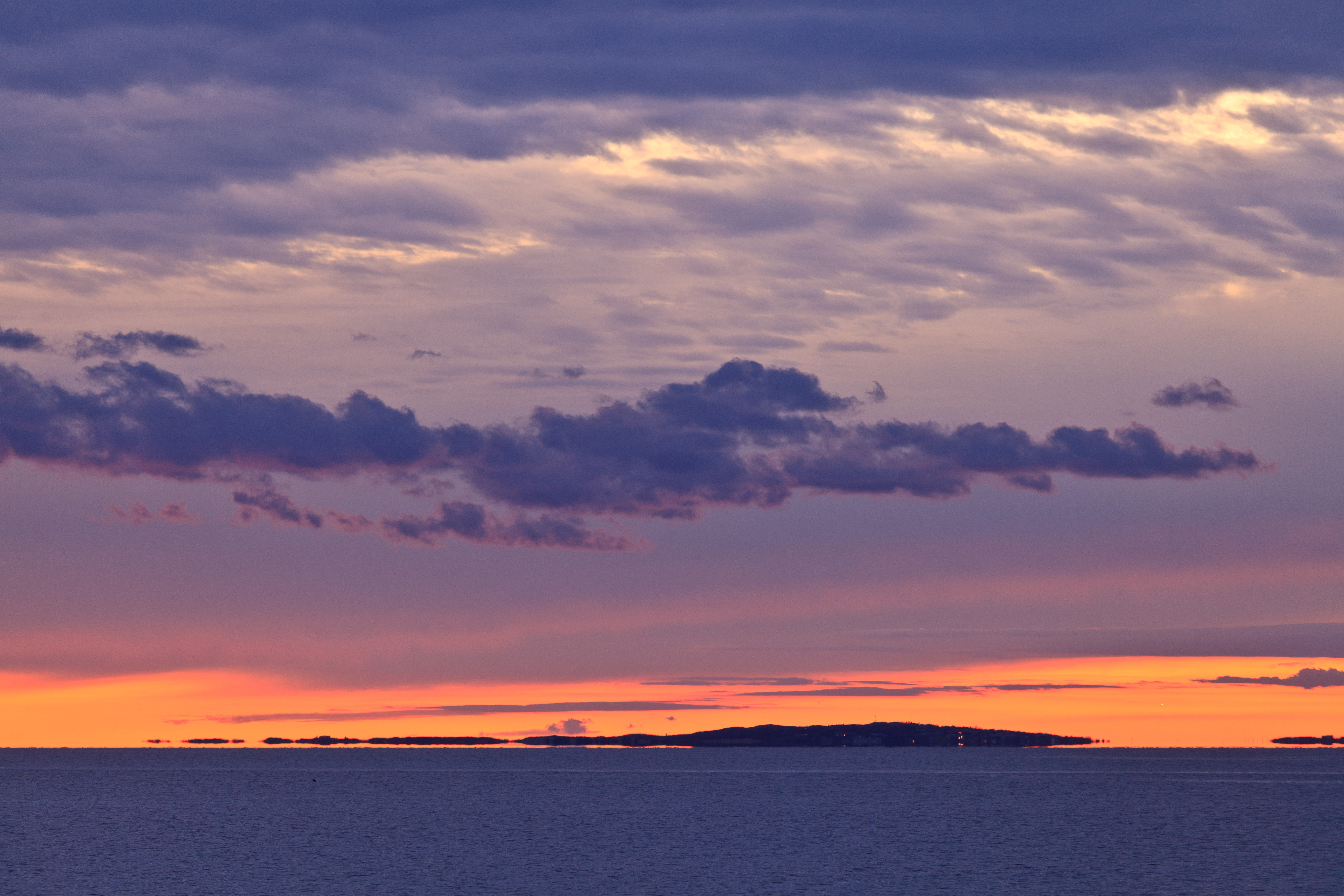
Although the fishing here is really good, the main draw for us are the spectacular sunsets over the Sound. We have also spent many evenings watching the same view from the Menemsha beach, just a stone’s throw (but a 7.5-mile drive) across the channel. Because of its easier accessibility, the Menemsha Beach is mobbed for sunset, while we often have the Lobsterville one practically to ourselves. The other nice thing about being on the Lobsterville side is that it is really nice to look at and photograph the picturesque fishing village of Menemsha from across the channel.
During the summer, a small bike ferry transports cyclists the short distance between Lobsterville and Menemsha. One year, the boys and I took our bikes across on this ferry and then rode the 7.5 miles back to Lobsterville.
Another great way to explore the Vineyard is kayaking on one of its many ponds, so a few years ago Herb built a rack for the top of the RV, where he could place two kayaks between the vents and air conditioning unit. It really is rough getting them up and down from there. Thankfully, Herb is in good enough shape to climb up the back ladder with them. Two years ago, we decided to bring the boys’ small perception kayaks to the Vineyard with us. They are pretty wide and slow, but we thought they would be fun to play around with anyway.
I bought a really good book called Exploring Martha’s Vineyard by Bike, Foot, and Kayak, which gave us some great ideas as to where to kayak. One day at Lobsterville, we decided to launch the kayaks in Menemsha Pond and paddle all the way across and then through Nashaquitsa Pond and on to Stonewall Pond, about a 3 to 4 hour paddle. This was a pretty good length voyage, which took us from the Vineyard Sound in the north to a beach on the Atlantic Ocean in the South.
Each of the ponds was very different. Menemsha Pond is pretty busy with boat traffic and quite open and windy, making it a bit of a difficult paddle. However, it is quite scenic and allows you to get up close to Menemsha’s Dutcher Dock. Nashaquitsa Pond is quite a bit smaller and more protected and has lots of coves to explore. Stonewall Pond is even smaller. To get to it we had to paddle under the South Road bridge. The really cool thing about Stonewall Pond is that you can get to a path to Stonewall Beach on the Atlantic Ocean. I read about this is my guide book, so I thought that that gave me permission to ignore the Private No Trespassing signs to check it out. Herb chickened out and stayed with the kayaks. He really missed out, because I got to experience the musical sounds emanating from the surf crashing over the rocks piled up along the base of the cliff. It was mesmerizing.
The way back was tiring as the wind had shifted against us, but all in all it was a fabulous journey and a very different way of exploring the island. Kayaks definitely do allow you to get into nooks and crannies that would otherwise be inaccessible. There was so much more to do on this island now that kayaks gave us access to the ponds.
The town of Aquinnah is located on the western end of Martha’s Vineyard (referred to as “up-island”), bordered by the Vineyard sound to the north and the Atlantic Ocean to the west and south. It is home to a year round population of 311, half of which are members of the Wampanoag tribe.
According to the Wampanoag, Martha’s Vineyard, which they called Noepe, was formed by the giant Moshup and that they arrived on the island by floating on an ice floe from the far North. Moshup then taught his people how to fish and catch whales. The character Tashtego in Herman Melville’s novel Moby Dick was an Aquinnah harpooner.
The Wampanoag inhabited Martha’s Vineyard for centuries before Thomas Mayhew, Jr. arrived with a group of settlers in 1642. Mayhew found the Wampanoag to be a courteous and friendly people. He treated them with respect, learned their language, opened the first school on the island to teach them English, and converted many of them to Christianity.
In 1870, the Wampanoag land was incorporated as Gay Head. In 1987, the Federal Bureau of Indian Affairs recognized the Wampanoag tribal council as an official tribal government. The tribal lands encompass 485 acres, 325 of which are common lands, including the Gay Head Cliffs, Herring Creek, and Lobsterville. In 1997, the name of the town was changed from Gay Head to Aquinnah, which means “land under the hill.”
Aquinnah is best known for its dramatically colorful clay cliffs, painted in red, yellow, white, and gray. The cliffs, which are considered sacred to the Wampanoag, are protected, and it is forbidden to climb them or remove the clay.
One of the best vantage points to view the cliffs is from the Gay Head Lighthouse. The lighthouse was opened in 1799 to guide ships through the treacherous waters between the Gay Head Cliffs and the Elizabeth Islands. In 1844 it was moved back 75 feet from the edge of the eroding bluff to its current location. Today the lighthouse is overseen by the Martha’s Vineyard Museum and is open to the public on Friday, Saturday and Sunday evenings from one hour before sunset to a half hour after sunset, from the summer solstice to the fall equinox.
The beach below the cliffs is called Moshup Beach, named after the mythical giant sachem that created the island. While good for swimming, in that the water here is warmer than most of the island, the main draw to this ½-mile white, sandy beach is its incredible scenery. The beach lies at the base of the 130-foot high stunningly beautiful and multicolored Gay Head cliffs, named for its “gay” brightly colored red, brown, yellow, and tan striations. Strolling the beach requires maneuvering over the numerous rocks tossed back and forth by the tides, providing creative beach goers with a limitless supply of materials to build creative rock cairns and towers.
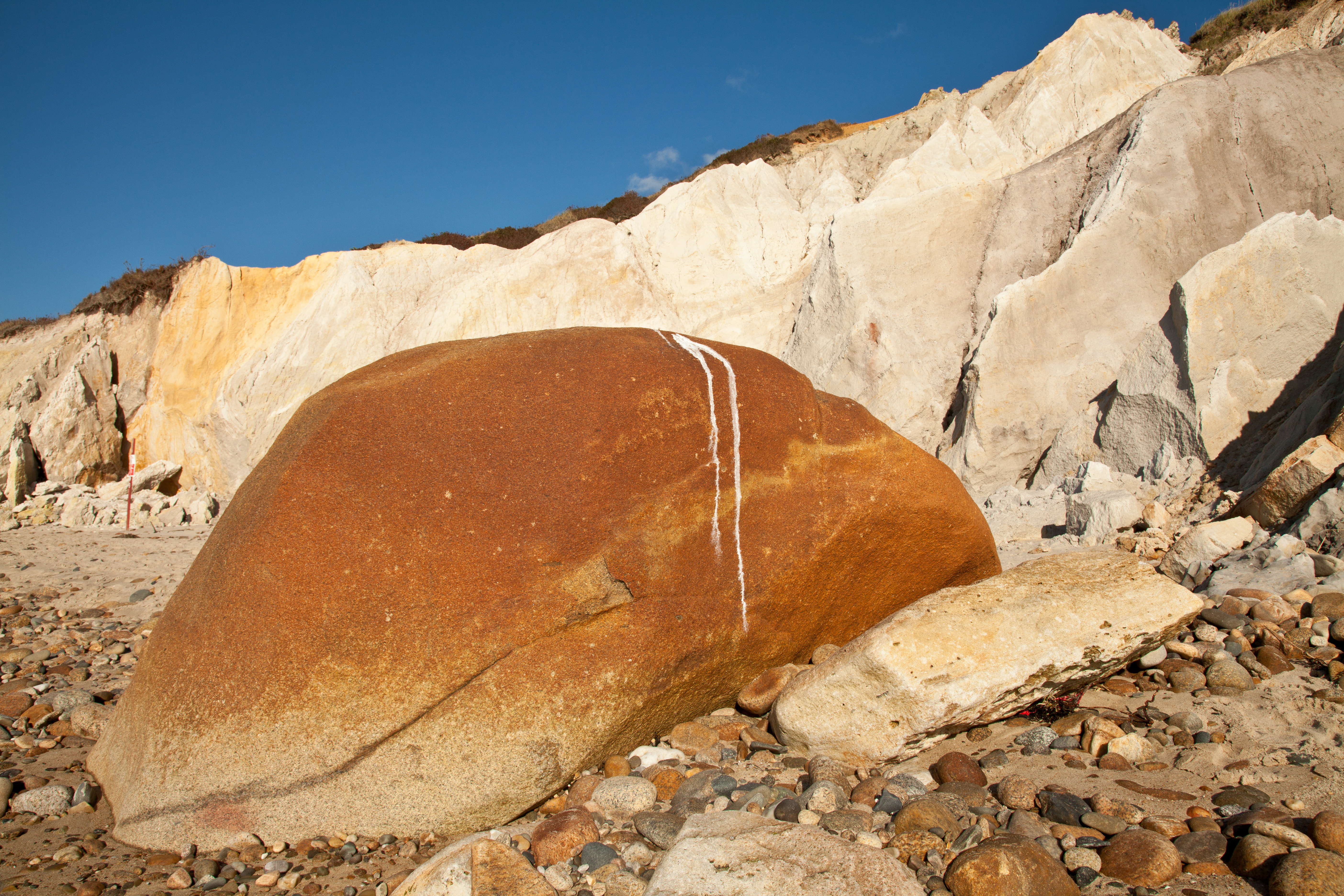
In many parts of the beach, rivulets of red clay seep out of the cliffs and flow towards the ocean. In the 1960’s and 70’s this became a popular spot for nude sunbathers to partake in “clay baths.” Today that is no longer allowed. However, there is still a section of the beach that is clothing optional.
Moshup Beach is annually selected by the Travel Channel as one of the top 10 beaches in the nation. Despite its uniqueness and beauty, its remote location from the more touristy parts of the island makes it much less crowded than the other public beaches on the island.
The parking area for the beach is located in the town lot at the end of State Road. It is $15 for the full day. From the parking lot, the Moshup Trail is a 10 minute walk to the beach. For bicyclists, there are bike racks located adjacent to the beach.
About 4 miles from the Gay Head lighthouse at the end of West Basin Road on the northwest side of the island is Lobsterville Beach, a secluded 2-mile public beach on the calm shores of Vineyard Sound. It is located across a narrow channel, a stone’s throw away from the more highly visited Menemsha village (although the drive there is 7.5 miles). During the summer, a small bike ferry transports cyclists the short distance between Lobsterville and Menemsha.
Over a hundred years ago, Lobsterville was the most important fishing village on the island. Ships from the mainland sailed into this harbor to purchase lobster and fish. Today, Menemsha has taken its place as the island’s primary fishing port, and Lobsterville village no longer exists.
Today Lobsterville is a place for beaching, birding, fishing, and just getting away from the summer crowds. Although swimming is allowed, the rocks and seaweed trapped in the cove make it a bit difficult. Lobsterville’s biggest draw, however, is fishing for flounder, striped bass, bonita, and blues, as dozens of fisherman line the rock jetty just across the channel from their Menemsha competition doing the same.
Since Lobsterville is located on the west end of the island, it is a wonderful place to watch the sunset over the water. It’s fun to contrast the quiet viewing that takes place here with the party-like atmosphere of the sunset revelers across the channel on Menemsha Beach. The views of this quaint picturesque village from the Lobsterville jetty make it a great place for photographers as well.
The small parking lot for this beach can accommodate only 8 cars.
There are 2 public beaches in Aquinnah:
- Moshup Beach – located on the Atlantic Ocean at the base of the Gay Head Cliffs
- Lobsterville Beach – located on the Vineyard Sound at the end of West Basin Road
Kayaking opportunities:
- Menemsha – Nashaquitsa – Stonewall Ponds
- Squibnocket Pond