Today was the day I was looking forward to the most on this trip. I love the idea of being on an island, and my favorite means of exploring places is by bike, so a trip to L’Isle-aux-Coudres in the St. Lawrence River was right up my alley. My plan was to bicycle the 26 km (16 mile) road that encircled the entire island, making stops along the way.
Since the boys felt that biking with mom and dad would hardly result in their working up a sweat, they decided to run the trails in le Genévrier Campground before we left. We never know when we are going to find a good place for them to run, so we figured they might as well grab it while they could. However, this meant that we would be getting a much later start on our trip to the island than I had hoped.
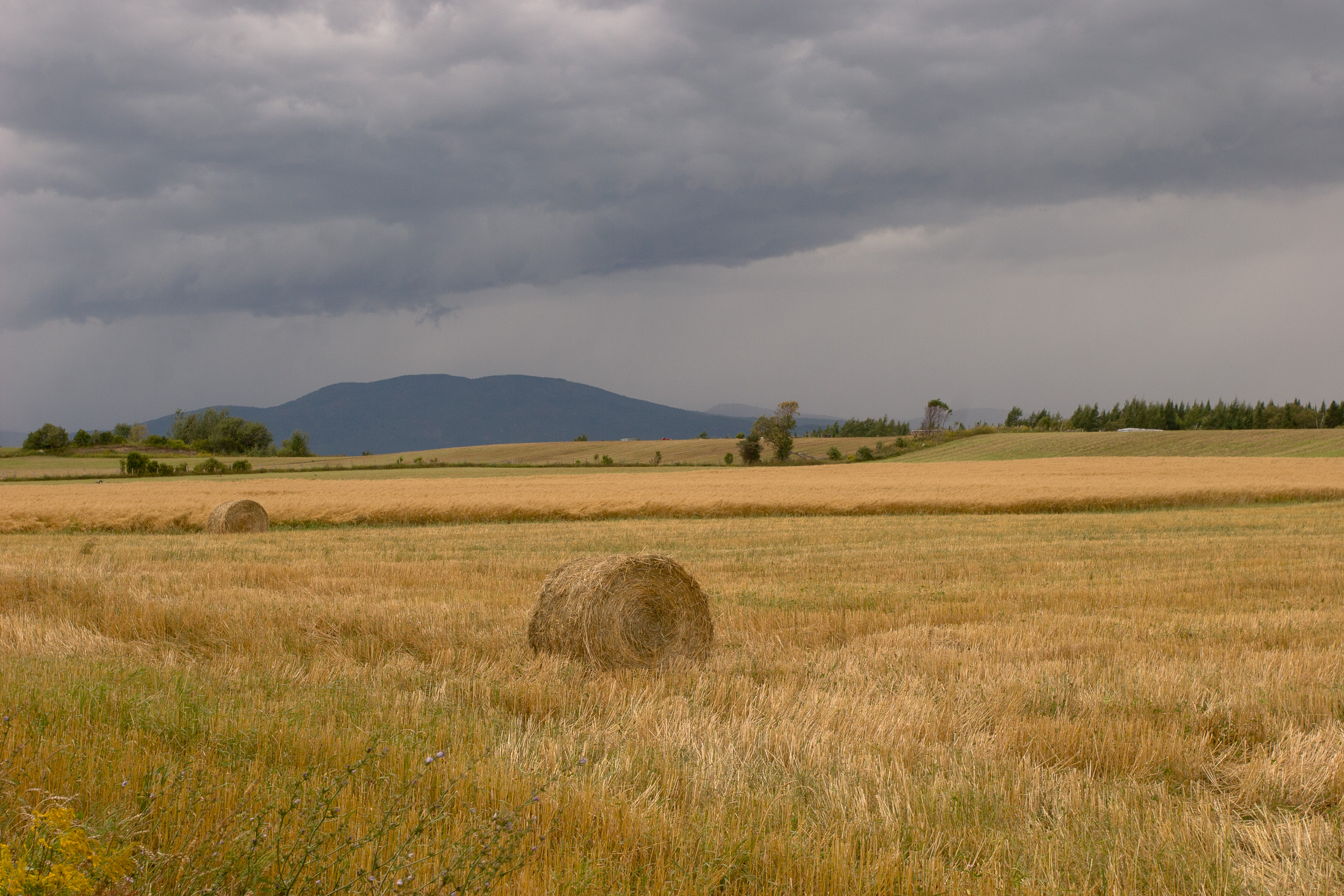
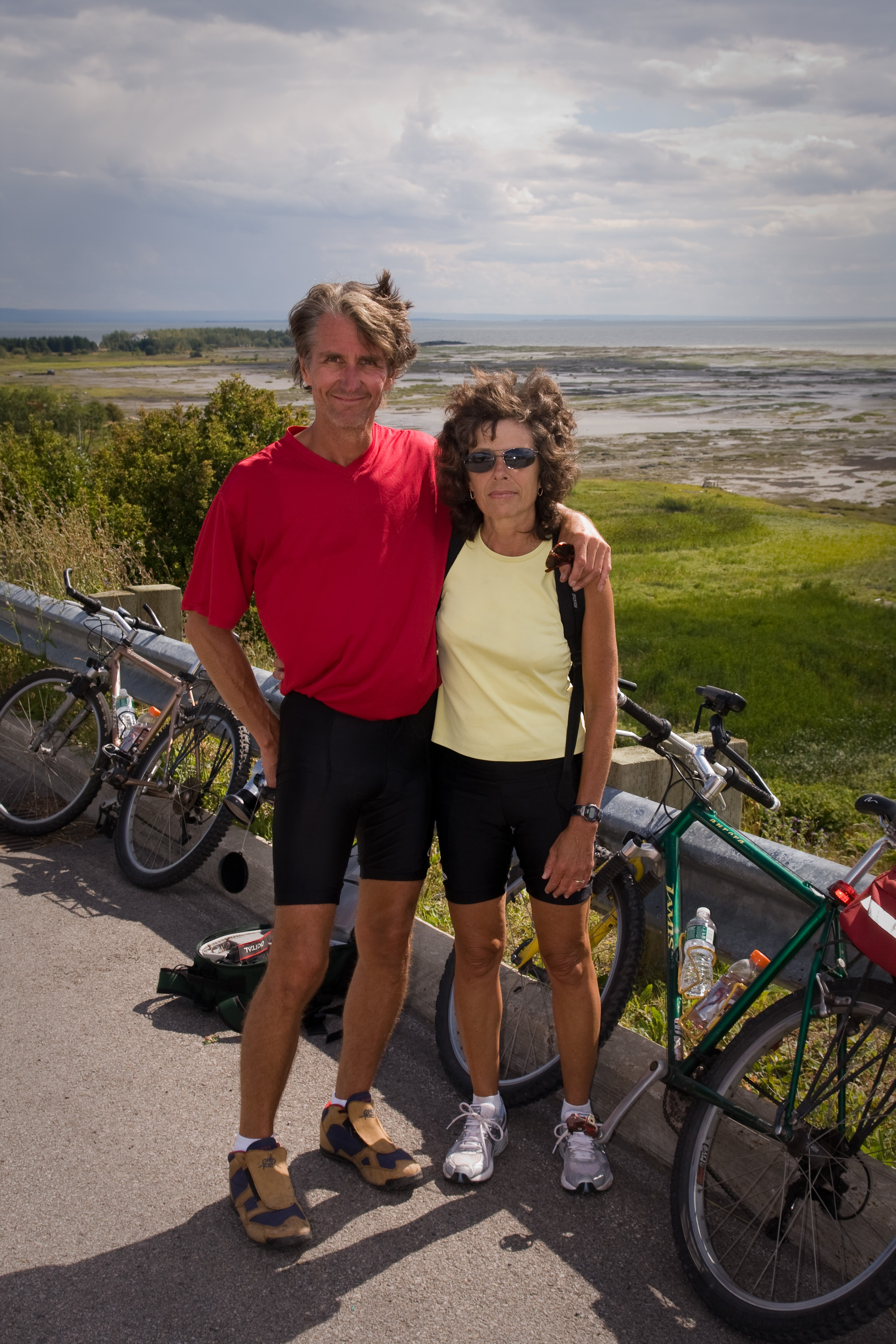
When they were finally back and showered, we headed to the ferry, a mere 12 miles away. How long could that possibly take? The way to the ferry was back towards the village of Baie-Saint-Paul and then onto Route 362, which winds its way up and down hills along the cliffs of the northern shore of the St. Lawrence River, passing through wooded hills and quaint villages. This stretch of road, known as the Route du Fleuve (“River Route”), is one of the most scenic in the region. We stopped at a scenic overlook just a short way out of town for a spectacular view of Baie-Saint-Paul and the river down below.
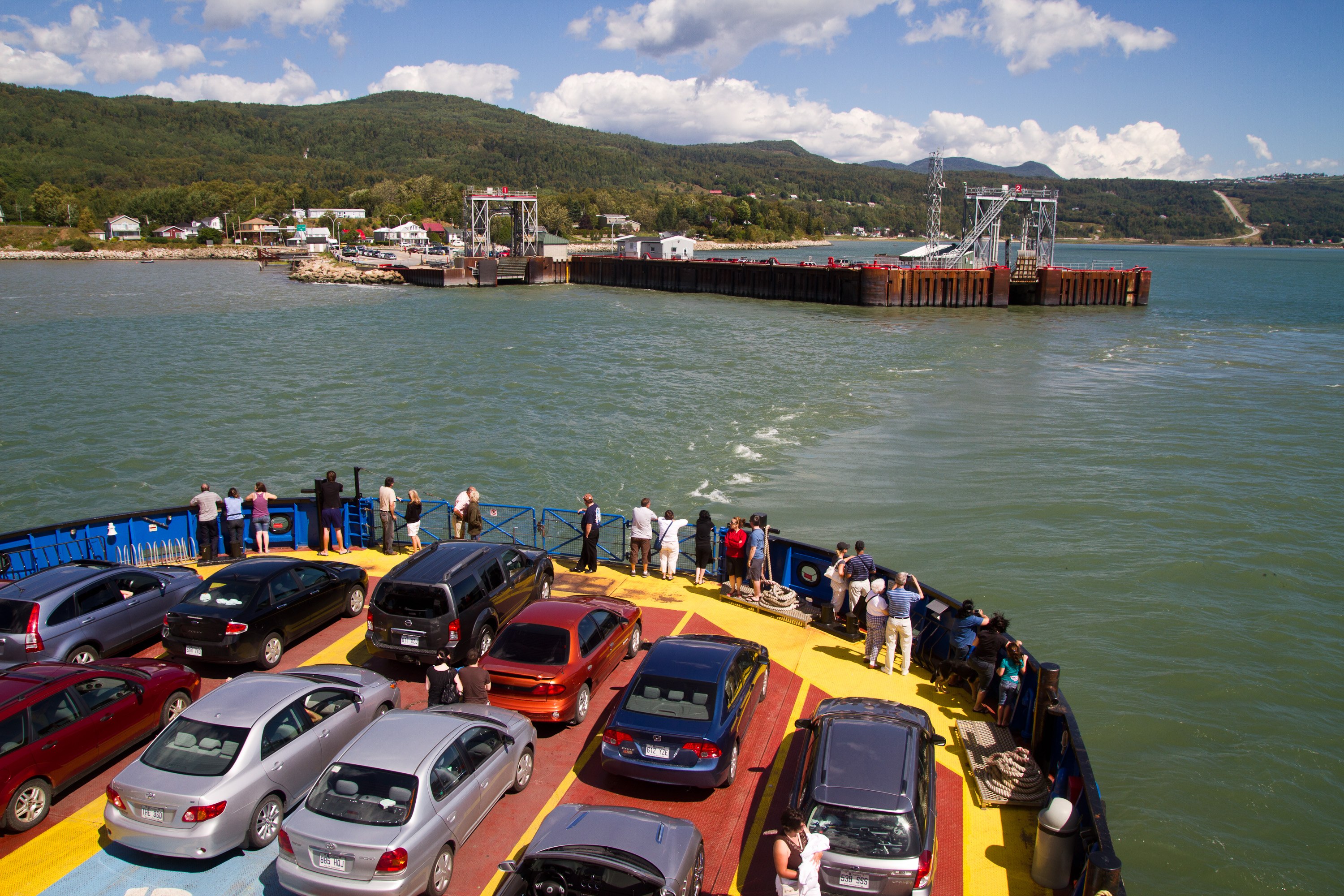
I laugh now to think that I once considered leaving the RV in our campground and bicycling to the ferry instead. I would still be trying to get up those hills. What should have been a 20 minute drive under normal circumstances took well over an hour. To add to the excitement of the terrain, there was construction going on along most of the route. However, if we thought the hills along Route 362 were bad, they were nothing compared to the descent into the town of Saint-Joseph-de-la-Rive where the ferry was. Now, you have to realize that we have lost brakes before (see our Death Valley stop in 2007), so we were not particularly enthused about our very first experience with an 18% gradient decline. I had no idea that Quebec was so hilly. We had never even heard of an 18% gradient road before, and quite frankly we thought seriously about turning back. However, fortunately for my extreme desire to get to the island, there was no place to turn around. So we proceeded down the hill in low gear and managed to make it safely to the ferry dock, where we were immediately waved onto the next one departing. The great part is that the ferry is free and runs every hour. The boys and I relaxed and enjoyed watching the lovely scenery of the river and the approaching island. Herb, however, still seemed a bit tense from our descent and kept his eyes fixated on the ridiculously steep hill as it slowly receded from view. He knew we were going to have to conquer it once again on the way back.
Our first order of business on the island was finding a place to camp for the night. There are only two campgrounds on the island, so it wouldn’t be that involved a process. After leaving the ferry, we drove up another fairly steep hill to the main road that encircled the island, the Chemin des Coudriers, and took a right to check out the first campground. We missed the sign for Camping Sylvie Campground and only caught a glimpse of it, but it didn’t seem particularly appealing. So, we continued on our drive around the island towards the only other campground on the southern side. I didn’t want to look too much out the window or enjoy too many sights yet, because I really wanted to bicycle this same route, and I didn’t want everyone backing out on me because we had seen it already.
We did, however, make one stop at La Croix du Cap, on the very northwestern most point of the island. To reach it, we had to make a sharp right turn onto the Chemin des Praries The people on this island must be quite religious, because there are an awful lot of churches and crosses for such a small population. I must admit, however, that we were drawn to this spot more for the fabulous views of the river and the mainland.
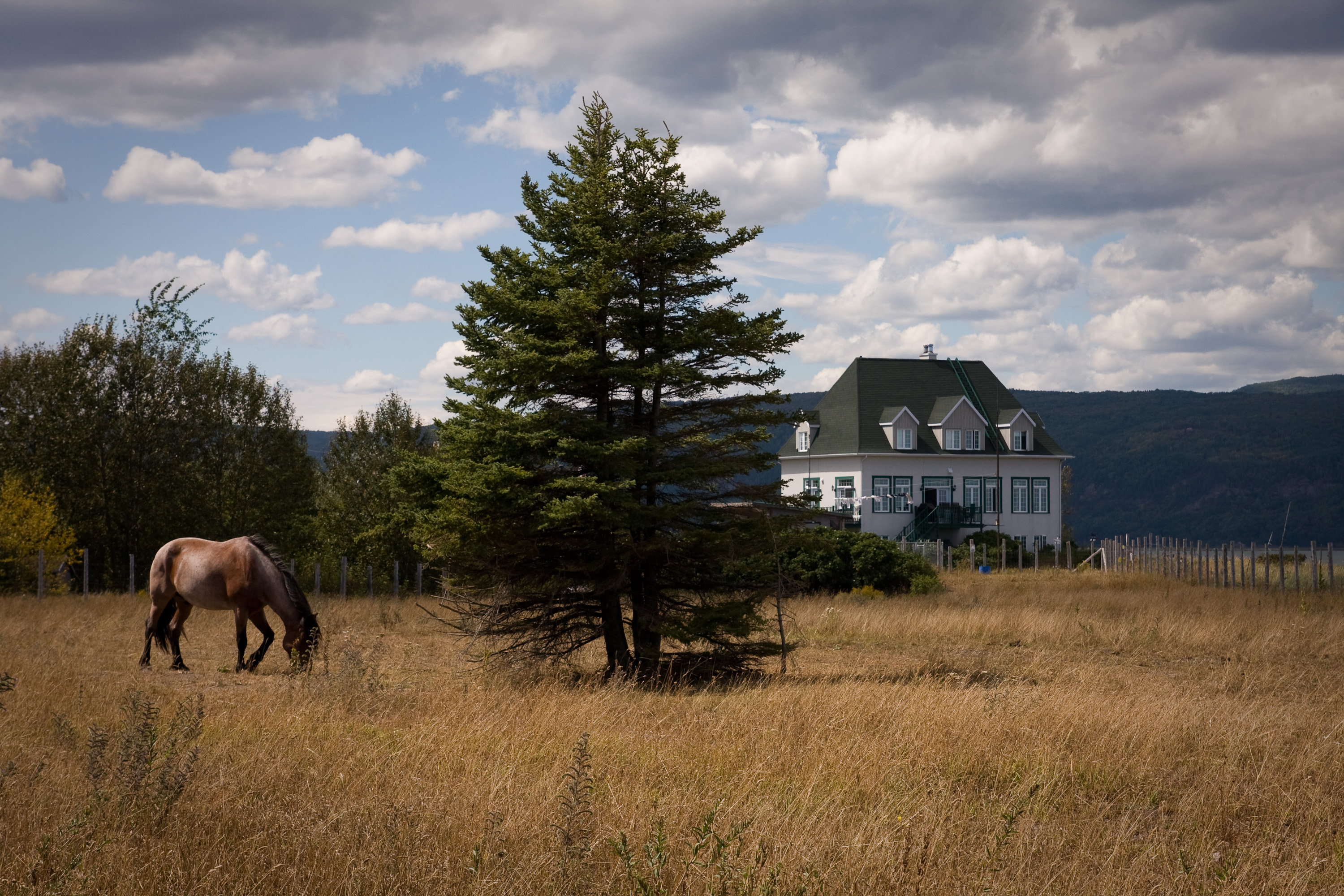
Once on the southern side of the island, the terrain became much flatter. The second (and last) campground we wanted to check out was Camping Leclerc and it was located on the Chemin de La Baleine, a road that ran parallel with the Chemin des Coudriers. This campground was much more our style—quiet, pretty natural wooded setting, fairly big sites, and even a view of the river from a small park across the road. The people in the office spoke absolutely no English, but Tommy and Andrew and their four years of high school French got us through.
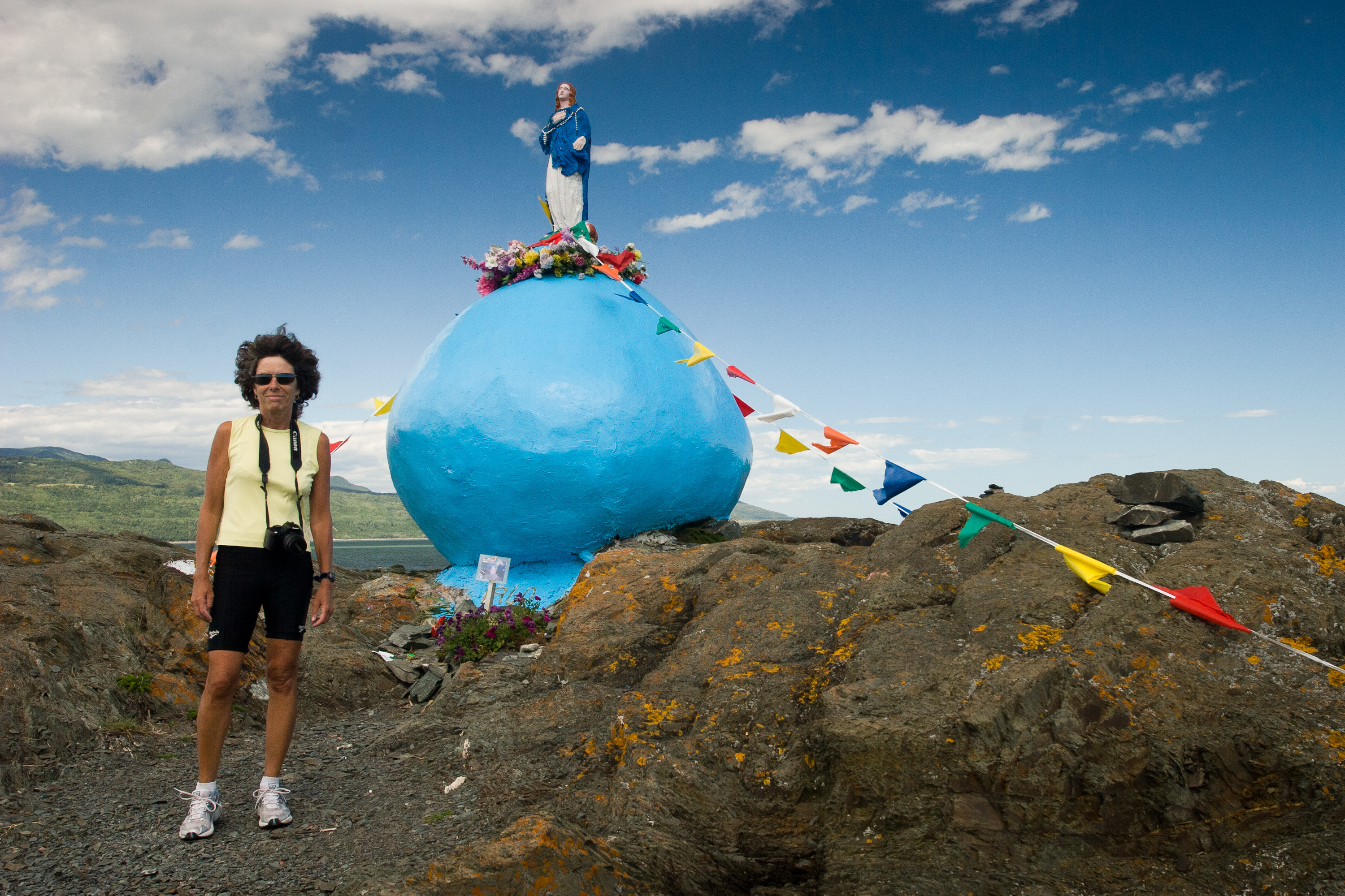
After a quick lunch, we got on our bikes and headed out in the counter-clockwise direction recommended by the guidebooks. Our first stop was a rather unique one. At the very eastern end of the island there is a peninsula called the Pointe du Bout d’en Bas that juts out into the river. While researching this trip, I had read somewhere that there was an interesting statue at this point, so I really wanted to find it. I think it was a lot easier to get to then the way we approached it. We wound up on some dirt paths that eventually lead us out to the point. And there it was…a giant bright blue sphere (about 6 or 7 feet tall) with a Virgin Mary standing atop it. The statue is known as the Notre-Dame de l’Assomption and it was erected in 1960 by Horace Pedneault, following a promise he made for his recovery. The statue is actually on private land, but it is frequently visited by people, many of whom leave flowers, perhaps praying for their own or a loved one’s recovery. While I admire and respect the concept, I do have to admit that I thought the implementation was a bit tacky. I’m not sure why the giant bright blue sphere was necessary. It did, however, make for some interesting photos.
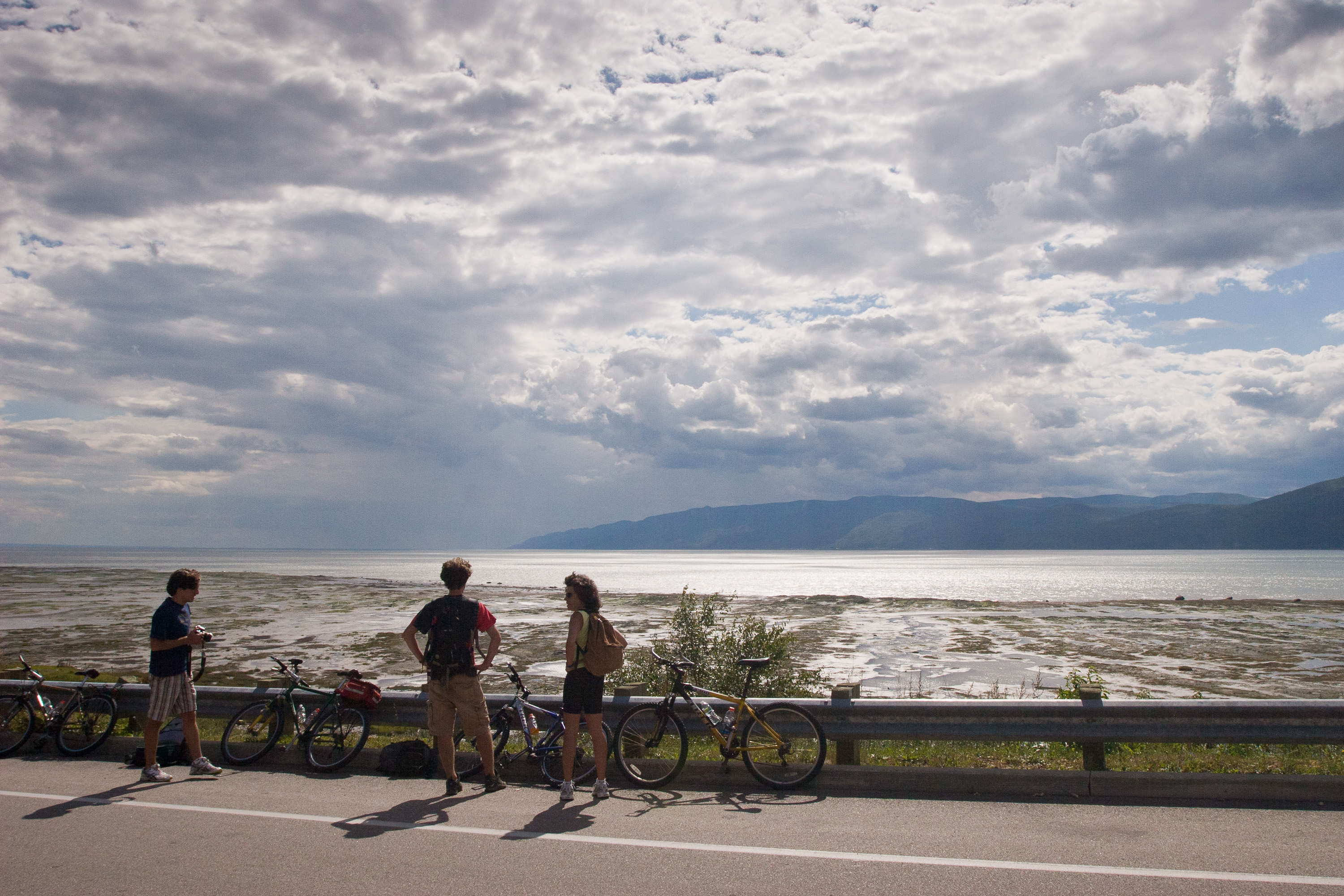
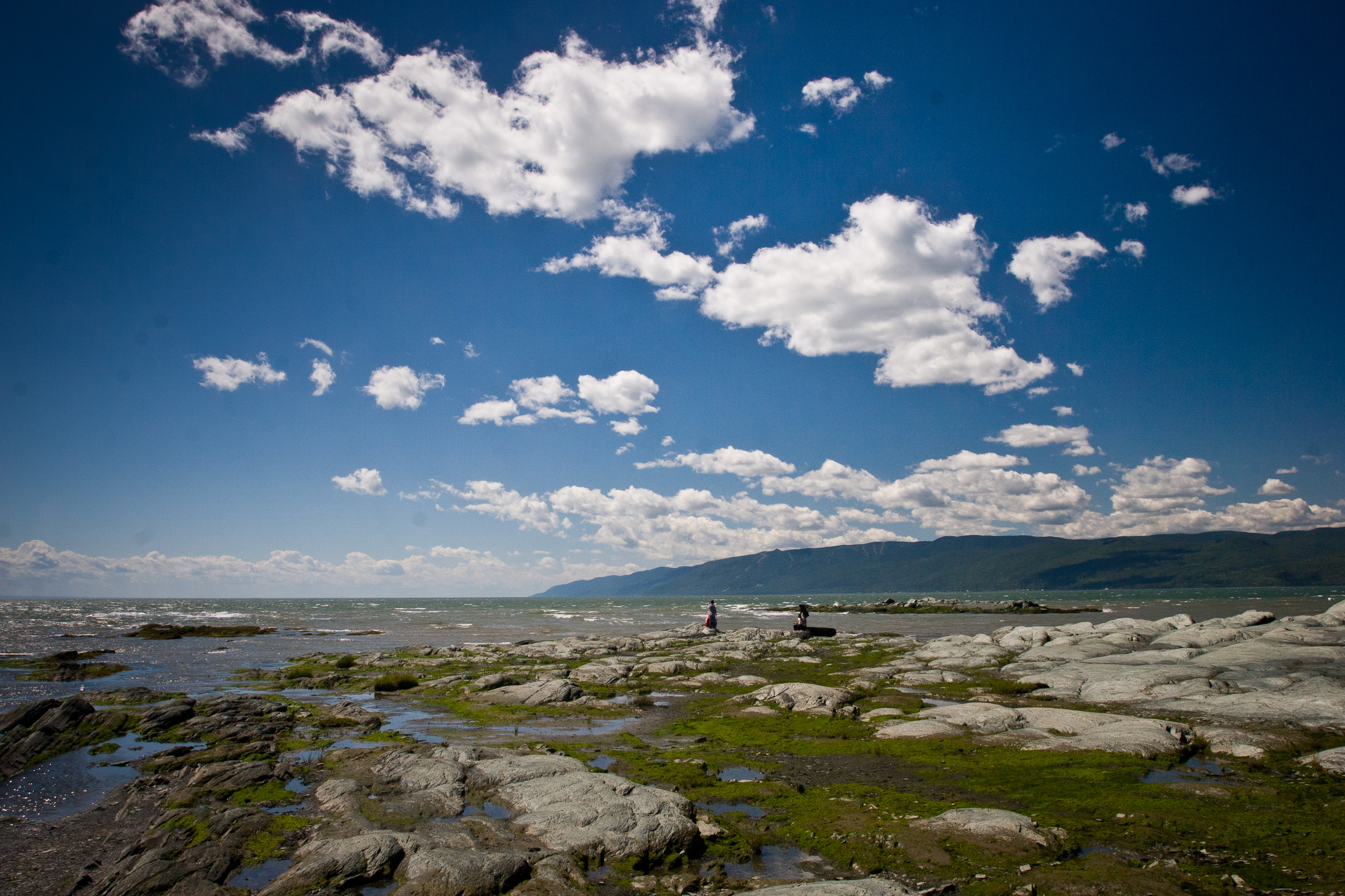
As we continued along towards the north side of the island, the road became much hillier, and I remember thinking how glad I was that the boys had handicapped themselves by taking that really long run this morning. It evened out the effort a bit, but probably not by too much. The scenery was quite breathtaking as we rode along the hills of the northern shore, looking down at the St. Lawrence River and the mainland beyond.
We skipped the turnoff for the Chemin des Prairies and La Croix du Cap this time, because we had already seen it by RV. However, we did turn off at the Chemin de l’Islet, which led us out onto a peninsula in the northwestern corner of the island, to another one of the island’s landmarks: Roche in Caya (Caya Rock). This was not just your simple everyday rock, but a rock with a story to tell. According to the legend of the rock, Caya was a very tall, foolish man who frightened people with his strange behavior. In his loneliness, he passed the time sitting on this rock looking out at the sea. Today, for some reason which I cannot understand, the legend goes on to say that all newborn babies on the island come from under that rock.
We looked—no babies today. However, we did find a geocache. For those of you fellow travelers unfamiliar with geocaching, I seriously recommend learning more about it (see www.geocaching.com). It can be a life-changing event. No seriously, it is a very interesting concept that has brought us to some very interesting and out-of-the way places. Very briefly, geocaching is kind of a treasure hunt, sans the treasures. Geocaches are waterproof containers (ranging from tiny little containers to ammo boxes) that contain little trinkets for trading—items that you would just throw away if you found them in your house, but for some reason feel like treasures after having gone through so much trouble trying to find them. There are over a million geocaches hidden in over 100 countries throughout the world. People searching for them use a GPS to guide them to usually within 30 feet of the hidden cache. From there, clues help the seeker zero in on the find. I know it sounds a bit silly, but it is actually a lot of fun and has exposed us to a lot of great places that we would never have found on our own.
The tough part about geocaching is trying not to look like a fool, or a criminal, crawling around on all fours searching for objects that no other person in the area (non-geocachers are referred to as “muggles”) knows exists. So, you can pretend you are looking for something you dropped, or you can just not care what others think and just go for it. Anyway, when we got to Caya Rock, the first thing we saw was a man and his son acting quite suspiciously near the rock. Recognizing their furtive glances and odd behavior--not to mention the GPS the father was holding--we immediately recognized them as fellow geocachers. We politely let them have first dibs at the treasure, but after they walked away without any success, it was ours for the taking. Herb moved in for the kill and skillfully uncovered his first international “treasure.” The man and his son noticed Herb’s actions and came over to talk and congratulate him. Although they were from Quebec, their English was far better than our French, so we were able to converse. They were from Mont-Sainte-Anne, visiting the island for the day. They gave us some useful information about mountain biking in Parc du Mont-Sainte-Anne near their home, which gave us a good idea for a possible stop on our way back down through the Charlevoix region.
The rest of the ride back along the southern shore of the island was flatter, and we were riding along the river rather than high above it as on the northern shore. It was much faster riding. Lucky it was, because there were some very ominous clouds building in the sky. Just as we turned off the Chemin des Coudriers onto the Chemin de La Baleine, where our campground was, it started to rain. We got back before getting too soaked and before the thunderstorm began.
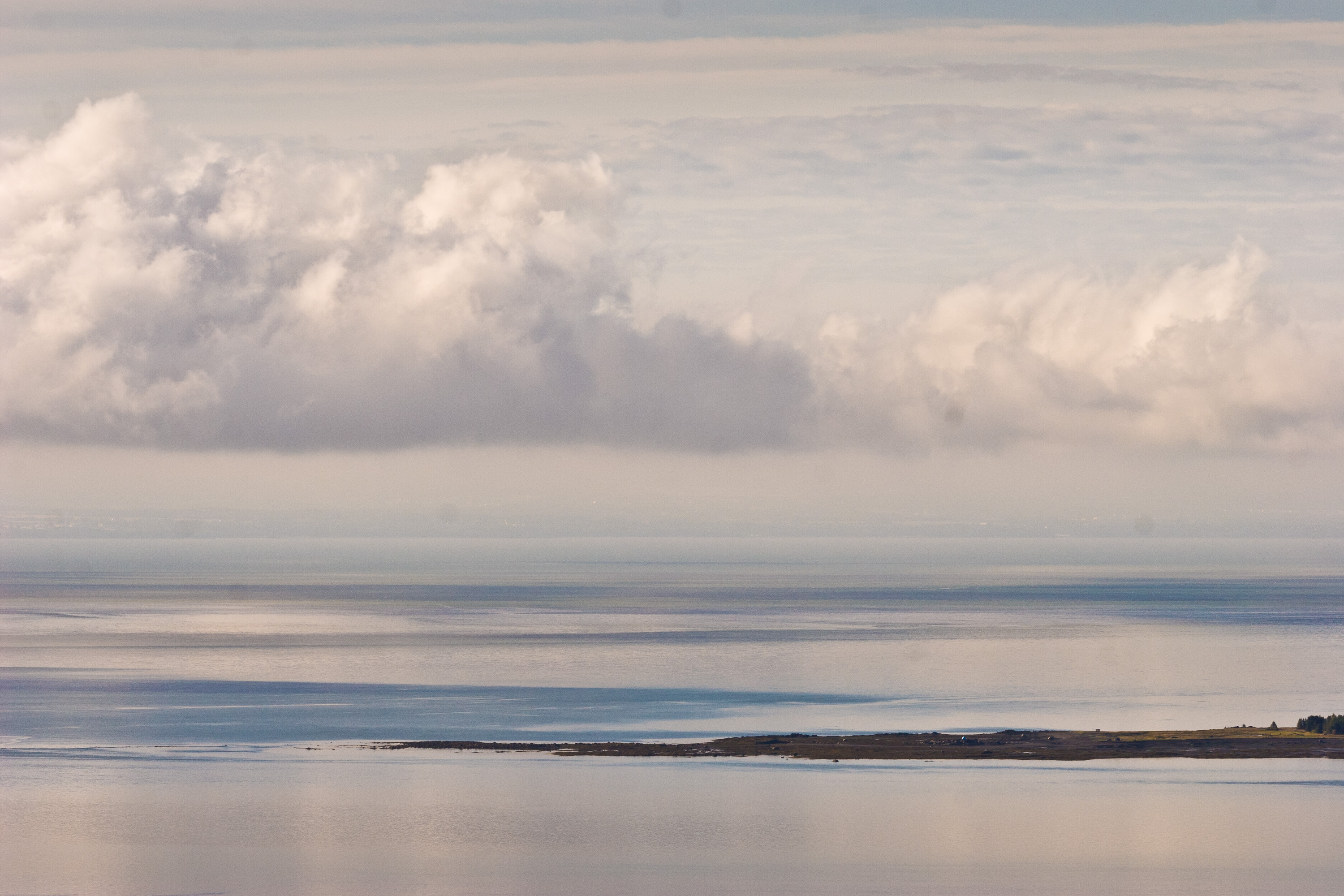
Fortunately, the storm did not last long and the skies cleared afterwards. We walked across the road to the little grassy area across the way, which we originally thought was a park. Instead it was campground’s area for tent camping. We sat on a bench with glasses of wine looking out over the St. Lawrence and across to the mainland in the distance.
The island was a lovely stop. Maybe rather than facing that ridiculous hill on the mainland in the morning, we could just live here.
L'Isle-aux-Coudres is a 16 km island located in the St. Lawrence River, just 90 minutes east of Quebec City. It is reached by a free 15-minute ferry from the village of Saint-Joseph-de-la-Rive, on the north shore of the gulf. To reach the ferry, take Route 362 (the Route du Fleuve) from the village of Baie-Saint-Paul. From the highway, take a very steep side road down to the ferry dock.
The island was discovered in 1535 by Jacques Cartier, who named it after the hazelnut trees (coudriers) that were plentiful there. Cartier planted a cross to claim the island for King Louis of France. A mass was celebrated in honor of this occasion. This was the first mass ever held in Canada.
The island was formerly a center for boat construction and porpoise fishing. However, today its major industry is tourism. The island is known for its historical sites, art galleries, and craft shops.
The most popular thing to do on the island is to bike the 26 km road (Chemin des Coudriers), which circles the island. The southern part of the island is quite flat, but there are several hills to conquer on the northern side. Because of the winds and the terrain, it is recommended that cyclists go in a counterclockwise direction. The route takes you through the islands three villages: St. Bernard, La Baleine, and St. Louis.
There are two campgrounds on the island:
• Camping Motel Leclerc on Chemin de La Baleine on the southern side of the island
• Camping Sylvie on Chemin des Coudriers on the northern side