Mojave Road - Colorado River (mile 0.0) to Fort Piute (mile 23.7), CA
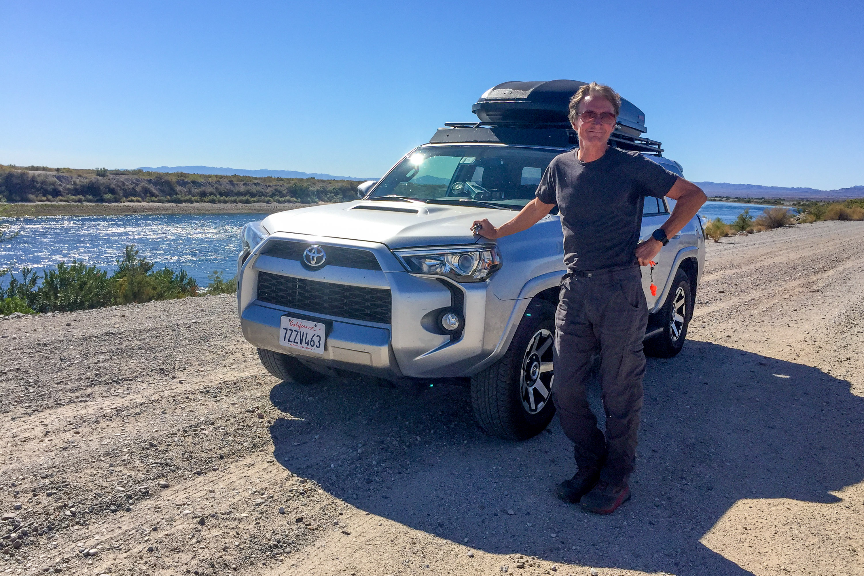
Herb was well prepared for this journey. In addition to watch endless hours of YouTube videos of 4WDs crossing the Mojave, we had several off-roading books to guide us, but by far the most comprehensive is Dennis Casebier's “Mojave Road Guide,” which gave details down to the tenths of a mile. We would have to try really hard to get lost.
I am not as much of a desert rat as Herb, but I am a history buff, so he tried to raise my enthusiasm level by telling me that the Mojave Road (all 138 miles of it) was steeped in history and pretty much unchanged since the Mojave Indians and the U.S. Mail and supply chains first crossed it.

The Mojave Road was originally an Indian trade route. The Mojave Indians, who lived along the Colorado River, would cross the Mojave Desert on foot to travel to the coast to trade corn and other crops for seashells. The route they chose was determined by the locations of watering holes, which fortunately were situated about every 20 to 30 miles, about the distance they could travel in one day.
The first European to use the Mojave trail was probably Father Francisco Garces in 1776, who was looking for the San Gabriel Mission, near current day Los Angeles. He did not find his way across the desert himself, but rather the Mojave Indians guided him, as they would later guide pioneers such as Jedediah Strong Smith.
The Mojave Road’s role as a major wagon trail was pretty much concentrated in a 20-year period following the Civil War. Rather than being a westward migration route, like the Oregon Trail, it was pretty much a supply and U.S. mail route in the 1860s and 1870s. Since robbing supply and mail trains was a common practice back in the day, the US Army built forts along the route at the various springs to keep the lines of communication open. By controlling the water sources, they pretty much controlled the road.
When railroads were built north and south of the Mojave Road, making crossing the desert a whole lot easier, the use of the Mojave Road declined, and the forts were abandoned. Today, a few remnants of that time still remain, making for an interesting historical journey across this barren wilderness.
Our Mojave Road Guide recommended taking 2 to 3 days to drive across, but we decided to take 4, camping 3 nights along the way, probably exiting around mile 116 rather than crossing the Mojave River.

Around 11:00 am, we set off from the Colorado River and headed west on a dirt road. In less than a mile, we crossed the Aha Macav Parkway, and in 3.5 miles, we touched asphalt again as we crossed the Needles Highway. So far anyway, there were lots of escape routes to civilization if we got in trouble.
We continued along, always keeping our eye out for the cairns that marked the way - kind of like following the yellow brick road. When you travel from East to West, they are always on the right side, and they are quite frequent. The basic policy is to place cairns at every intersection with other roads and at major washes where the road might be hard to follow after floods. I think there were a lot more than that though, as we seemed to see one every 100 yards or so.
The telephone and power lines also helped navigation in that the guide book indicated the exact mile we would pass under one, and when we should ride parallel to them.
I would have to say that the road was a lot rougher than I expected - nothing that the 4Runner and Herb couldn’t handle, just pretty bouncy and slow.
At mile 7.6, we came to the trailhead for Picture Canyon, one of the few hikes mentioned in the “Mojave Road Guide.” We debated at first whether we should stop, as we hadn’t really gotten much mileage under our belt yet, but since we love to hike and this seemed like the best opportunity we might have along our journey, we decided to do it. After all, what were he out here for if not to explore.
This hike would not have been possible without the GPS coordinates given in the “Mojave Guide Book,” because there is no trail into Picture Canyon. With his anally retentive attention to detail, Dennis Casebier is a man after my own heart. Our only mistake was trying to hike in a straight line to the next GPS point rather than just following the wash. It just required a bit more rock scrambling and bushwhacking this way, but at least we knew we were headed in the right direction.

With incredible accuracy, the GPS coordinates for the pictographs themselves were dead on. My only question was how did the Native Americans that did this artwork find this place without a GPS? We are becoming much too dependent on our technological gadgets these days.
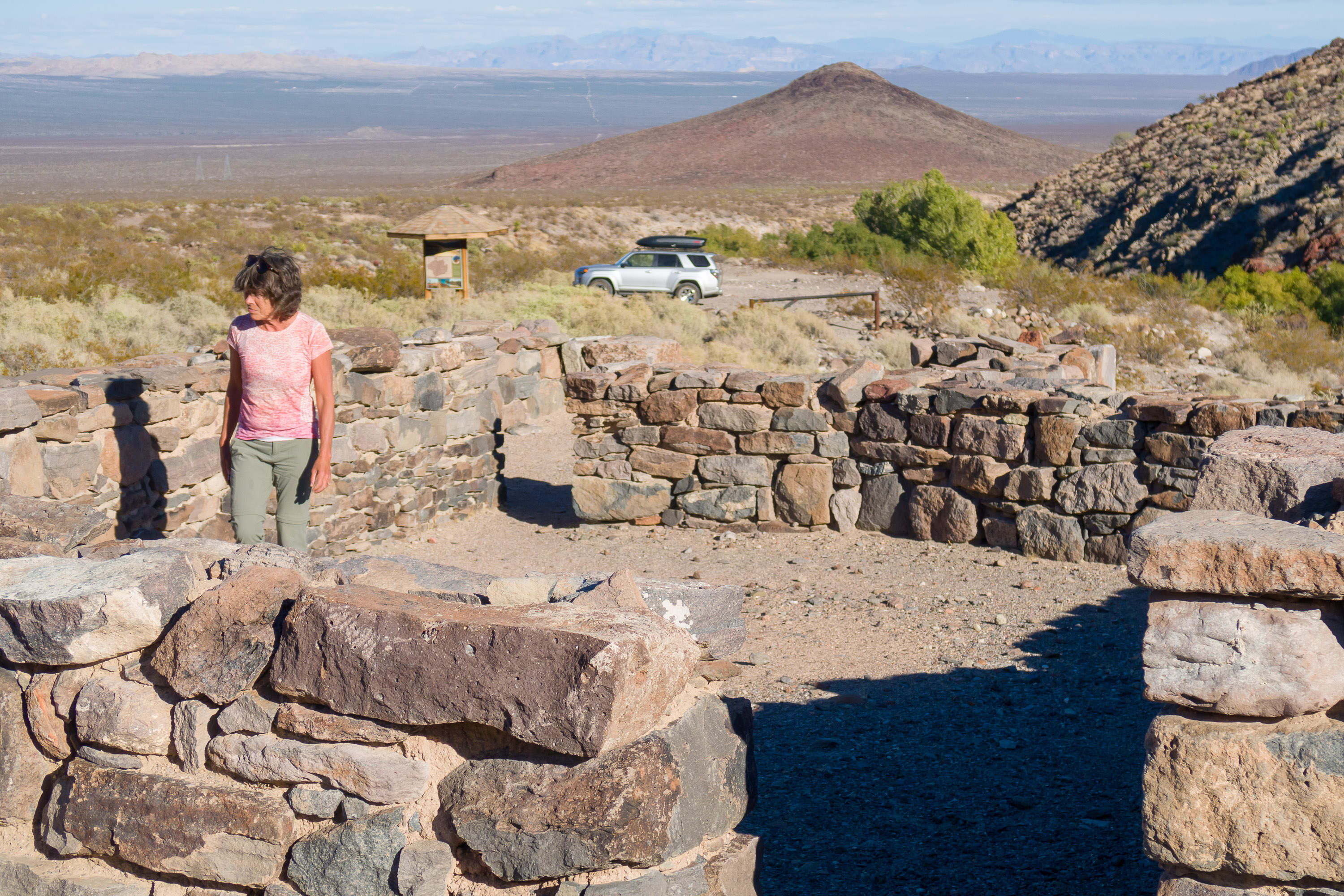
Back at the truck, we continued on through the Piute Valley toward the Piute Range. In front of the Range was a single small cinder cone detached from the rest of the mountains, called Jedediah Smith Butte. At a junction at mile 21.8, we decided to continue straight towards the Butte along the 2-mile spur road to Fort Piute and Piute Springs, the first of the essential springs that the Mojave Indians and supply and mail wagons depended on during their crossing.

The road to Fort Piute was the rockiest and bumpiest yet, not sandy with a few protruding rocks as had preceded us, but babyhead rocks covering the road the entire way. At the end of the road, at mile 23.7, there were a few stone foundations marking the site of Fort Piute, which was once a military outpost manned by 18 men from 1867 to 1868, whose job it was to control the water supply so that wagons passing through would be safer from attack.
In the old days, the wagon road continued on from here, but today it is impassable and blocked by a gate. You can walk to Piute Spring from here, but it was getting late and getting out of here was going to be a slow, bumpy process.

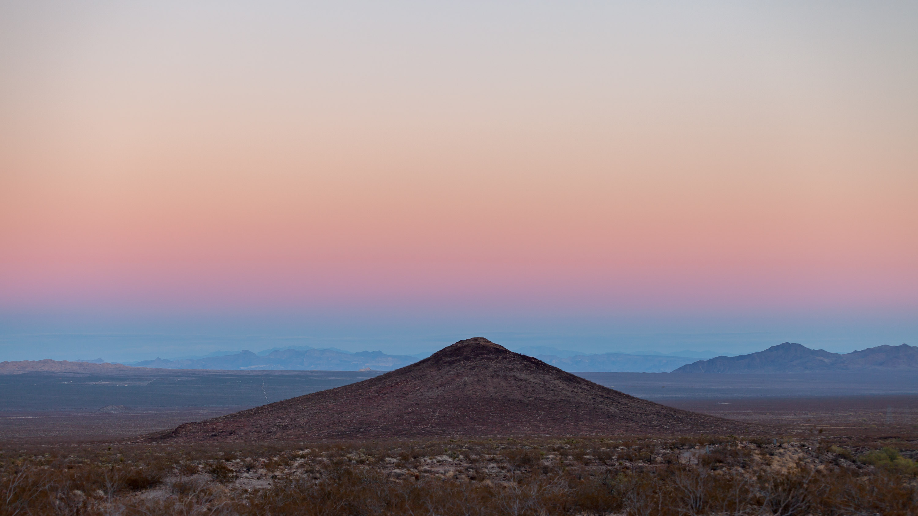
Instead of driving all the way back to the main Mojave Road, we found a nice place to camp for the night with views of the Piute Range. The ground was much too rocky to set up a tent, but fortunately we have a platform in the back of the 4Runner setup for sleeping. In comes in handy when conditions are not conducive to tent camping - such as wind, rocks, and wild burros (our Death Valley nightmare).
My main problem with the platform is that there is only about a 6 inch clearance above my face when I am lying down, making me feel a bit claustrophobic. It’s fine as long as I don’t think about it too much. However, that night I did, and I actually reached over, opened the door, and stuck out my head to gasp for breath. Thankfully, Herb slept through it.