Black Canyon of the Gunnison National Park, CO
The Black Canyon of the Gunnison has both a North and a South Rim, but since the North Rim is only reached via an unpaved road, we chose to visit the more accessible South Rim, which was more directly along our route anyway.
I'm not sure why I was disappointed that there was no brightly-colored red rock here. The park didn't exactly try to hide its darker coloration; in fact, its name practically flaunted it. I must say, I am getting spoiled. This canyon was truly beautiful, but its gray and black tones just didn't have the same impact on me that red sandstone does.
Since the park is not that heavily traveled, we had our choice of sites in the South Rim Campground, which unfortunately did not have any views of the canyon. We selected a site in loop C because we wanted to hike the Rock Rim Trail, which started from there.
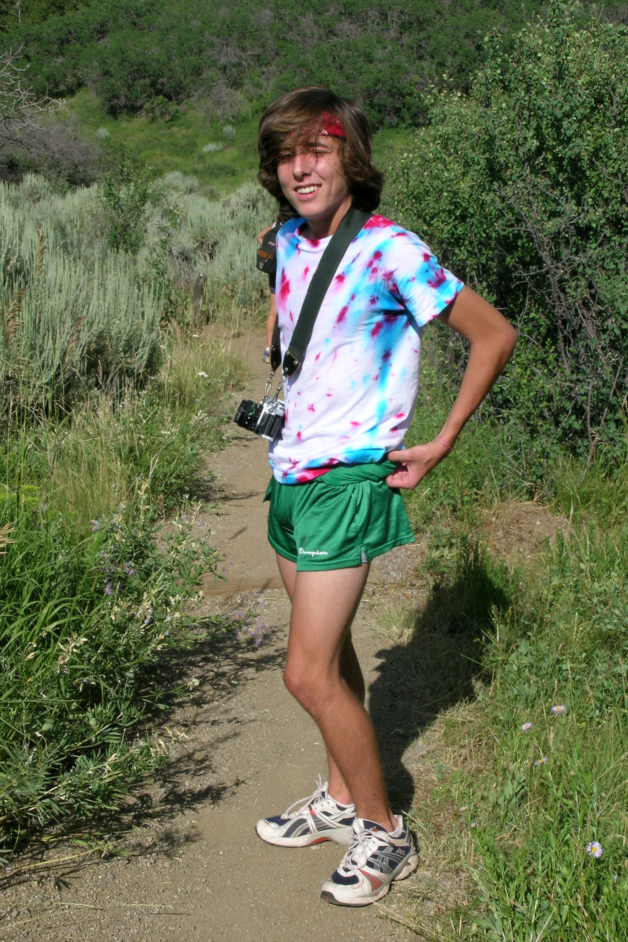
The trail was quite nice and as its name implies, it did go right along the rim of the canyon. Nothing dangerous or anything, and there were some great views down to the Gunnison River and across to the sheer walls on the other side of the canyon. Andrew's photography assignment of shooting black and white film was perfect here. No red rock taunting him--just striking views filled with various tones of gray and black. The trail had several nice viewpoints along the way and ended near the Visitor Center and Gunnison Point. From there, Herb and I walked back to the campground along the road while the boys, after dumping all their camera gear, water bottles, etc. on me, ran back. I have to give them a lot of credit. They've really taken their training for track seriously this summer, and the high altitude really made things quite a bit more challenging. We were well over 8,000 feet here and you could really feel the difference.
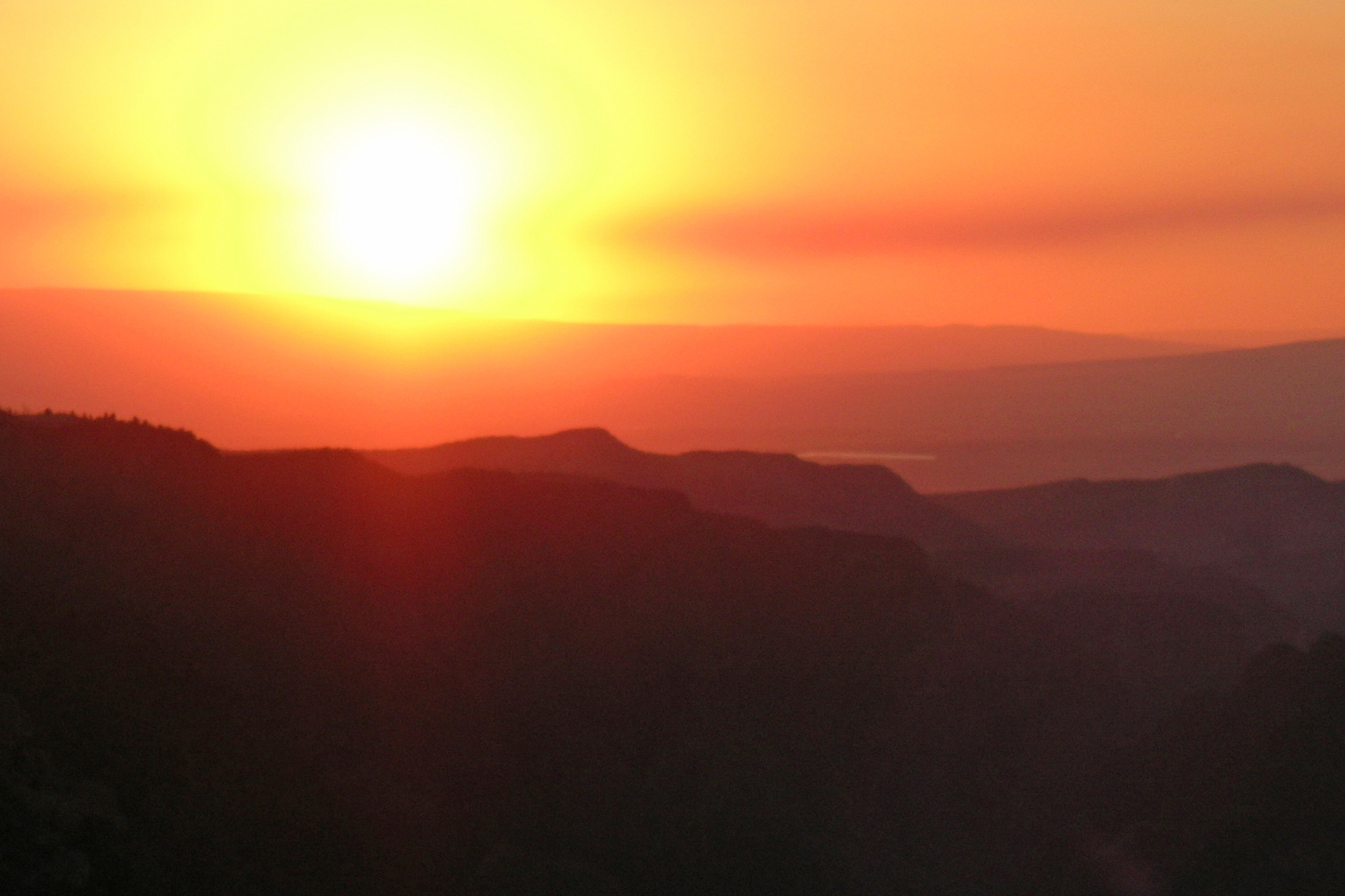
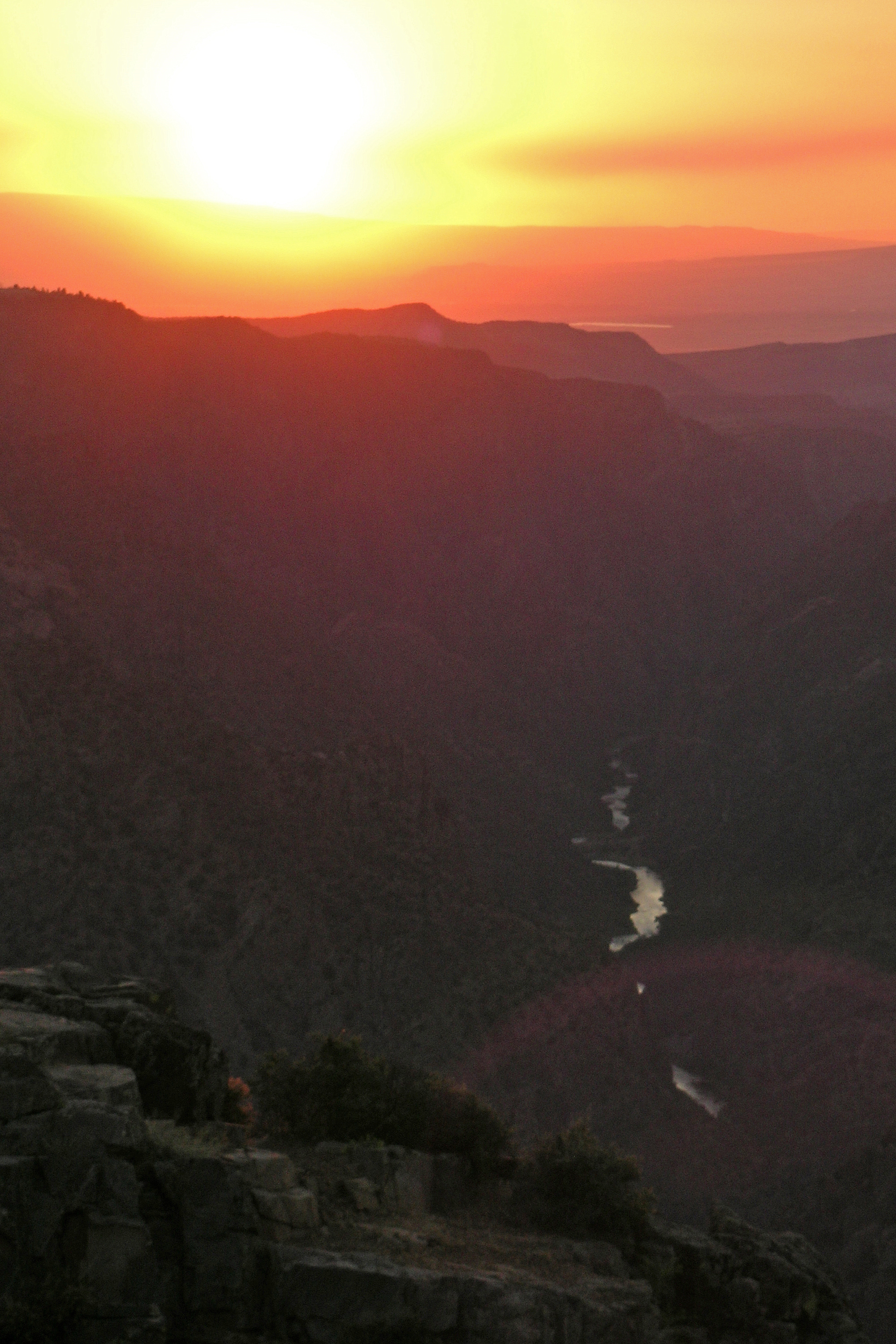
That evening, rather than stay in our pleasant, but viewless campsite, we decided to drive the scenic South Rim Drive and find a place to BBQ and watch the sunset. There were several overlooks along the way, but we chose the aptly named Sunset View near the end of the 7-mile drive. This viewpoint faced west, so we were able to cook our burgers and watch the sun put on its show right in front of us.
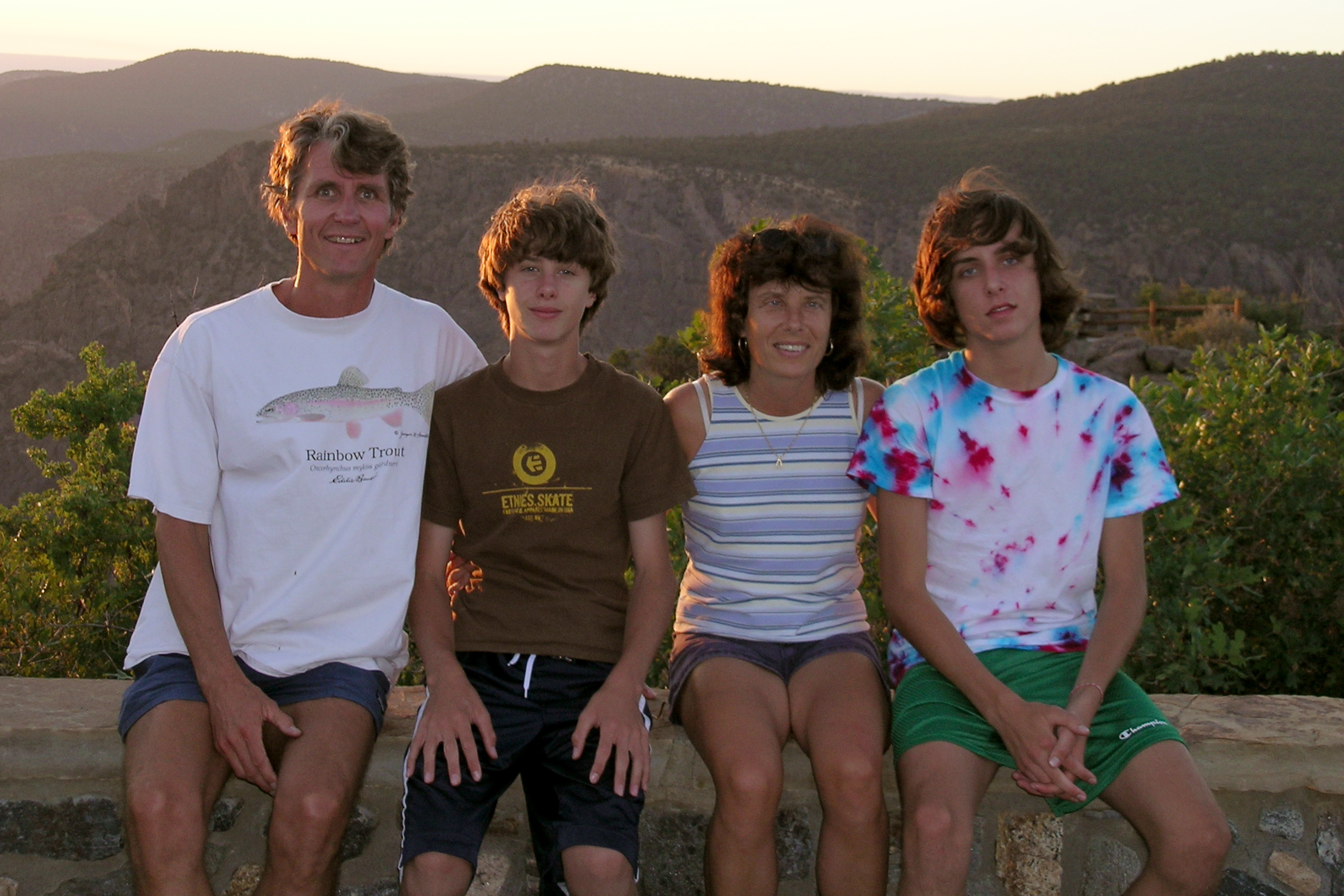
We met a friendly fellow traveler there who obviously seemed a bit lonely and wanted to talk. He told us that he felt drawn to us because he liked seeing a family traveling and having a good time together, which reminded him of his great times traveling with his own family. This year he was traveling alone because his wife and grown sons, who usually accompany him, couldn't get the time off from work. The reason he was so driven to go on this trip, even if it meant going alone, was that he was very close to completing his goal of climbing to the highest point in each of the 50 states. He had already done the big ones, like Mt. McKinley in Alaska and Mt. Hood in Oregon, and was just finishing up a few more. It was a bit lonely traveling alone, but this was something he really wanted to do. He was taking pictures of the sunset on his cell phone and sending them to his wife as we spoke. I guess everyone has a different reason for traveling, but I've come to the conclusion that it doesn't really matter what your reason is, as long as you just get out there and do it.
The canyon was formed by the Gunnison River more than 2 million years ago. Although Native Americans have hunted on its rim for thousands of years, no humans have tried to inhabit the gorge. The first non-native men to see the canyon were probably members of the Hayden Expedition in 1873. Around 1900, the people of the Uncompahgre Valley wanted to divert water from the Gunnison River to their valley for irrigation. Five residents set out on an exploratory expedition on the river but gave up after a month. A year later, Abraham Lincoln Fellows and William Torrence tied their gear to a rubber mattress and covered 33 miles in 9 days. They felt that an irrigation tunnel was possible. The 5.8-mile Gunnison Diversion Tunnel was completed in 1909. It has been delivering water to the Uncompahgre Valley ever since.
Today the park is a haven for hikers, backpackers, and rock climbers. There are two sections to the park--the less accessible North Rim and the more highly traveled South Rim. There is no bridge connecting the two rims.
Exploring the North Rim
The North Rim is reached via a gravel road from Crawford Lake State Recreation Area. The unpaved scenic drive has 6 scenic overlooks, with some of the most impressive views in the park. There is a 13-site campground at the western end of the drive. .
Exploring the South Rim
The South Rim is reached via Route 347 from the town of Montrose. The 7.5 mile paved scenic drive has 10 scenic overlooks, the best of which are Gunnison Point, Pulpit Rock, Chasm View and Sunset View. The Visitor Center is located at Gunnison Point. There is a 102-site campground about a mile south of the Visitor Center. The popular Rim Rock Nature Trail starts at the campground and follows the rim of the canyon to Gunnison Point and the Visitor Center.
The extremely steep (16% grade) and winding East Portal Road goes down to the river. Vehicles longer than 22 feet are prohibited. River access is actually in the Curecanti National Recreation Area where there is camping, picnicking, and fishing.